Bagra geodata
Bagra (Jharkhand) is a populated place; located in India in Asia/Kolkata (GMT+5.5) time zone. With population of 11,364 people, there are 2797 cities with bigger population in this country. Compared to other cities in India, 56.3% of cities are located further ↓South; 87.7% of cities are located further ←West and 55.3% of cities have higher elevation than Bagra. Note1


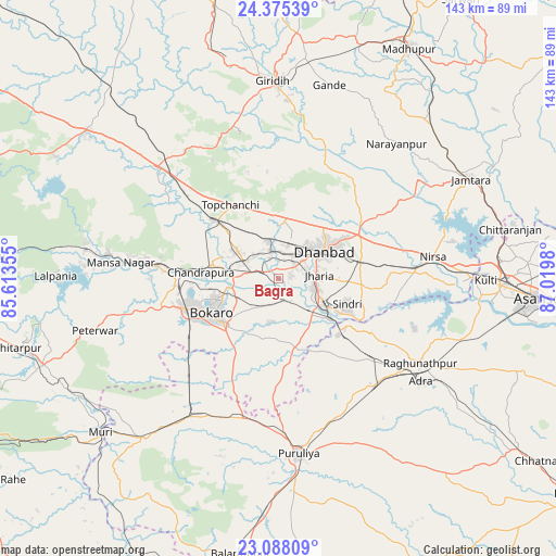
Bagra GPS coordinates[2]
23° 43' 59.988" North, 86° 19' 0.012" East
| Map corner | latitude | longitude |
|---|---|---|
| Upper-left | 24.37539°, | 85.61355° |
| Center: | 23.73333°, | 86.31667° |
| Lower-right: | 23.08809°, | 87.0198° |
| Map W x H: | 143.1×143.1 km | = 88.9×88.9mi |
| max Lat: | 34.9274° ⇑43.7% North |
| Bagra: | 23.73333° |
| min Lat: | ⇓56.3% South 8.09008° |
| min Long | Bagra | max Long |
| 68.82655° | 86.31667° | 96.81° |
| W 87.7%⇐ | ⇒12.3% E |
Elevation
Elevation of Bagra is 173 m = 568 ft, and this is 122.6 m = 402 ft below average elevation for this country.
| Max E: |
3681 m = 12077 ft | 55.3% |
| Avg. | 295.6 m = 970 ft | |
| Bagra | 173 m = 568 ft | |
Min E: |
1 m = 3 ft | 44.7% |
See also: India elevation on elevation.city.
Geographical zone
Bagra is located in North temperate zone (between Tropic of Cancer and the Arctic Circle). Distance of this Northern Tropic circle is 33 km =20.5 mi to South.| Distance of | km | miles | from Bagra |
|---|---|---|---|
| North Pole | 7368.2 | 4578.4 | to North |
| Arctic Circle | 4762.3 | 2959.2 | to North |
| Tropic Cancer | 33 | 20.5 | to South |
| Equator | 2638.9 | 1639.7 | to South |


Nearby cities:
15 places around Bagra: (largest is in red/bold)
• Bhojudih
16.4 km =10.2 mi,  129°
129°
• Chās
18.7 km =11.6 mi,  234°
234°
• Dhanbād
15 km =9.3 mi,  59°
59°
• Dugda
14.8 km =9.2 mi,  275°
275°
• Gobindpur
23.5 km =14.6 mi, 61°
• Gomoh
22.9 km =14.2 mi,  312°
312°
• Jharia
10 km =6.2 mi,  85°
85°
• Jāmadoba
8.7 km =5.4 mi,  102°
102°
• Kenduadīh
7.7 km =4.8 mi,  52°
52°
• Kātrās
7.4 km =4.6 mi,  345°
345°
• Malkera
6.2 km =3.9 mi,  331°
331°
• Pāthardih
13.9 km =8.6 mi,  122°
122°
• Sijua
5 km =3.1 mi,  16°
16°
• Sāruberā
33.9 km =21.1 mi,  286°
286°
• Topchānchi
22.5 km =14 mi, 327°
Sources, notices
• [Note1] Compared only with cities in India existing in our database
• [Src1] Map data: © OpenStreetMap contributors (CC-BY-SA)
• [Src2] Other city data from geonames.org with taken over terms of usage.
• [Src3] Geographical zone / Annual Mean Temperature by Robert A. Rohde @ Wikipedia
