Gasperina geodata
Gasperina (Calabria) is a seat of a third-order administrative division; located in Italy in Europe/Rome (GMT+2) time zone. With population of 1,801 people, there are 4490 cities with bigger population in this country. Compared to other cities in Italy, 93.3% of cities are located further ↑North; 96.5% of cities are located further ←West and 78.9% of cities have lower elevation than Gasperina. Note1


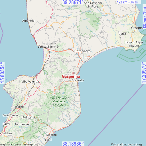
Gasperina GPS coordinates[2]
38° 44' 25.404" North, 16° 30' 23.976" East
| Map corner | latitude | longitude |
|---|---|---|
| Upper-left | 39.28671°, | 15.80354° |
| Center: | 38.74039°, | 16.50666° |
| Lower-right: | 38.18986°, | 17.20979° |
| Map W x H: | 122×122 km | = 75.8×75.8mi |
| max Lat: | 47.04031° ⇑93.3% North |
| Gasperina: | 38.74039° |
| min Lat: | ⇓6.7% South 35.50142° |
| min Long | Gasperina | max Long |
| 6.69888° | 16.50666° | 18.48682° |
| W 96.5%⇐ | ⇒3.5% E |
Elevation
Elevation of Gasperina is 505 m = 1657 ft, and this is 198.3 m = 651 ft above average elevation for this country.
| Max E: |
2085 m = 6841 ft | 21.1% |
| Gasperina | 505 m 1657 ft | |
| Avg. | 306.7 m = 1006 ft | |
Min E: |
-4 m = -13 ft | 78.9% |
See also: Italy elevation on elevation.city.
Geographical zone
Gasperina is located in North temperate zone (between Tropic of Cancer and the Arctic Circle). Distance of this Northern Tropic circle is 1701.6 km =1057.3 mi to South.| Distance of | km | miles | from Gasperina |
|---|---|---|---|
| North Pole | 5699.5 | 3541.5 | to North |
| Arctic Circle | 3093.6 | 1922.3 | to North |
| Tropic Cancer | 1701.6 | 1057.3 | to South |
| Equator | 4307.5 | 2676.6 | to South |


Nearby cities:
15 places around Gasperina: (largest is in red/bold)
• Calalunga-Pietragrande
3.7 km =2.3 mi,  93°
93°
• Centrache
6.7 km =4.2 mi,  258°
258°
• Martelli-Laganosa
7.2 km =4.5 mi,  159°
159°
• Montauro
1.1 km =0.7 mi,  26°
26°
• Montepaone
2.2 km =1.4 mi,  200°
200°
• Montepaone Lido
3.3 km =2.1 mi,  111°
111°
• Olivadi
7.4 km =4.6 mi, 257°
• Palermiti
4.8 km =3 mi,  281°
281°
• Petrizzi
5.2 km =3.2 mi,  215°
215°
• Soverato Marina
7.2 km =4.5 mi,  148°
148°
• Soverato Superiore
6.1 km =3.8 mi, 157°
• Squillace
4.5 km =2.8 mi,  5°
5°
• Squillace Lido
6.9 km =4.3 mi,  52°
52°
• Staletti
3.9 km =2.4 mi, 46°
• Vallefiorita
5.6 km =3.5 mi,  315°
315°
Sources, notices
• [Note1] Compared only with cities in Italy existing in our database
• [Src1] Map data: © OpenStreetMap contributors (CC-BY-SA)
• [Src2] Other city data from geonames.org with taken over terms of usage.
• [Src3] Geographical zone / Annual Mean Temperature by Robert A. Rohde @ Wikipedia
