Bisignano geodata
Bisignano (Calabria) is a seat of a third-order administrative division; located in Italy in Europe/Rome (GMT+2) time zone. With population of 5,055 people, there are 1937 cities with bigger population in this country. Compared to other cities in Italy, 90.3% of cities are located further ↑North; 95% of cities are located further ←West and 51.9% of cities have lower elevation than Bisignano. Note1


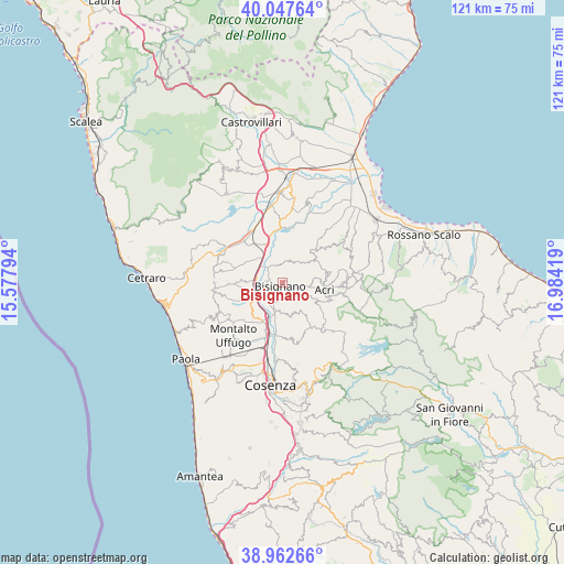
Bisignano GPS coordinates[2]
39° 30' 26.172" North, 16° 16' 51.816" East
| Map corner | latitude | longitude |
|---|---|---|
| Upper-left | 40.04764°, | 15.57794° |
| Center: | 39.50727°, | 16.28106° |
| Lower-right: | 38.96266°, | 16.98419° |
| Map W x H: | 120.6×120.6 km | = 74.9×74.9mi |
| max Lat: | 47.04031° ⇑90.3% North |
| Bisignano: | 39.50727° |
| min Lat: | ⇓9.7% South 35.50142° |
| min Long | Bisignano | max Long |
| 6.69888° | 16.28106° | 18.48682° |
| W 95%⇐ | ⇒5% E |
Elevation
Elevation of Bisignano is 246 m = 807 ft, and this is 60.7 m = 199 ft below average elevation for this country.
| Max E: |
2085 m = 6841 ft | 48.1% |
| Avg. | 306.7 m = 1006 ft | |
| Bisignano | 246 m = 807 ft | |
Min E: |
-4 m = -13 ft | 51.9% |
See also: Italy elevation on elevation.city.
Geographical zone
Bisignano is located in North temperate zone (between Tropic of Cancer and the Arctic Circle). Distance of this Northern Tropic circle is 1786.9 km =1110.3 mi to South.| Distance of | km | miles | from Bisignano |
|---|---|---|---|
| North Pole | 5614.3 | 3488.6 | to North |
| Arctic Circle | 3008.4 | 1869.3 | to North |
| Tropic Cancer | 1786.9 | 1110.3 | to South |
| Equator | 4392.8 | 2729.6 | to South |


Nearby cities:
15 places around Bisignano: (largest is in red/bold)
• Acri
9.1 km =5.7 mi,  97°
97°
• Cavoni-Ginestreto
6.3 km =3.9 mi,  194°
194°
• Contessa
9.4 km =5.8 mi,  216°
216°
• Luzzi
6.6 km =4.1 mi,  175°
175°
• Macchia
12.2 km =7.6 mi,  90°
90°
• Pianetti
11.4 km =7.1 mi, 221°
• Rose
12.1 km =7.5 mi,  174°
174°
• San Demetrio Corone
9.8 km =6.1 mi,  44°
44°
• Santa Maria le Grotte
12.4 km =7.7 mi,  254°
254°
• Santa Sofia d'Epiro
5.9 km =3.7 mi, 43°
• Sartano
8.8 km =5.5 mi,  273°
273°
• Scalo Ferroviario
12.8 km =8 mi,  330°
330°
• Stazione Montalto-Coretto
11.6 km =7.2 mi,  196°
196°
• Taverna
9.6 km =6 mi,  206°
206°
• Torano Castello
10.3 km =6.4 mi, 267°
Sources, notices
• [Note1] Compared only with cities in Italy existing in our database
• [Src1] Map data: © OpenStreetMap contributors (CC-BY-SA)
• [Src2] Other city data from geonames.org with taken over terms of usage.
• [Src3] Geographical zone / Annual Mean Temperature by Robert A. Rohde @ Wikipedia
