Luzzi geodata
Luzzi (Calabria) is a seat of a third-order administrative division; located in Italy in Europe/Rome (GMT+2) time zone. With population of 2,418 people, there are 3617 cities with bigger population in this country. Compared to other cities in Italy, 90.6% of cities are located further ↑North; 95% of cities are located further ←West and 64.5% of cities have lower elevation than Luzzi. Note1


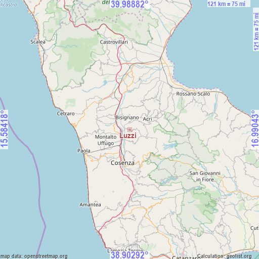
Luzzi GPS coordinates[2]
39° 26' 52.764" North, 16° 17' 14.28" East
| Map corner | latitude | longitude |
|---|---|---|
| Upper-left | 39.98882°, | 15.58418° |
| Center: | 39.44799°, | 16.2873° |
| Lower-right: | 38.90292°, | 16.99043° |
| Map W x H: | 120.7×120.7 km | = 75×75mi |
| max Lat: | 47.04031° ⇑90.6% North |
| Luzzi: | 39.44799° |
| min Lat: | ⇓9.4% South 35.50142° |
| min Long | Luzzi | max Long |
| 6.69888° | 16.2873° | 18.48682° |
| W 95%⇐ | ⇒5% E |
Elevation
Elevation of Luzzi is 339 m = 1112 ft, and this is 32.3 m = 106 ft above average elevation for this country.
| Max E: |
2085 m = 6841 ft | 35.5% |
| Luzzi | 339 m 1112 ft | |
| Avg. | 306.7 m = 1006 ft | |
Min E: |
-4 m = -13 ft | 64.5% |
See also: Italy elevation on elevation.city.
Geographical zone
Luzzi is located in North temperate zone (between Tropic of Cancer and the Arctic Circle). Distance of this Northern Tropic circle is 1780.3 km =1106.2 mi to South.| Distance of | km | miles | from Luzzi |
|---|---|---|---|
| North Pole | 5620.9 | 3492.7 | to North |
| Arctic Circle | 3015 | 1873.4 | to North |
| Tropic Cancer | 1780.3 | 1106.2 | to South |
| Equator | 4386.2 | 2725.5 | to South |


Nearby cities:
15 places around Luzzi: (largest is in red/bold)
• Acri
10.1 km =6.3 mi,  57°
57°
• Arente
7.6 km =4.7 mi,  196°
196°
• Bisignano
6.6 km =4.1 mi,  355°
355°
• Capitano
10.2 km =6.3 mi,  188°
188°
• Castiglione Cosentino
10.6 km =6.6 mi,  179°
179°
• Cavoni-Ginestreto
2.2 km =1.4 mi,  282°
282°
• Contessa
6.2 km =3.9 mi,  261°
261°
• Pianetti
8.3 km =5.2 mi, 256°
• Redipiano
10.9 km =6.8 mi,  166°
166°
• Rose
5.4 km =3.4 mi, 173°
• Salerni
8.4 km =5.2 mi,  216°
216°
• Santa Maria di Settimo
10.9 km =6.8 mi, 222°
• Settimo
7.5 km =4.7 mi,  212°
212°
• Stazione Montalto-Coretto
5.9 km =3.7 mi, 219°
• Taverna
5.2 km =3.2 mi,  248°
248°
Sources, notices
• [Note1] Compared only with cities in Italy existing in our database
• [Src1] Map data: © OpenStreetMap contributors (CC-BY-SA)
• [Src2] Other city data from geonames.org with taken over terms of usage.
• [Src3] Geographical zone / Annual Mean Temperature by Robert A. Rohde @ Wikipedia
