Salcedo geodata
Salcedo (Veneto) is a seat of a third-order administrative division; located in Italy in Europe/Rome (GMT+2) time zone. With population of 401 people, there are 10277 cities with bigger population in this country. Compared to other cities in Italy, 83.9% of cities are located further ↓South; 50.3% of cities are located further ←West and 69.3% of cities have lower elevation than Salcedo. Note1


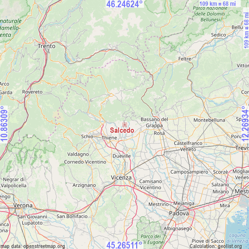
Salcedo GPS coordinates[2]
45° 45' 28.188" North, 11° 33' 58.356" East
| Map corner | latitude | longitude |
|---|---|---|
| Upper-left | 46.24624°, | 10.86309° |
| Center: | 45.75783°, | 11.56621° |
| Lower-right: | 45.26511°, | 12.26934° |
| Map W x H: | 109.1×109.1 km | = 67.8×67.8mi |
| max Lat: | 47.04031° ⇑16.1% North |
| Salcedo: | 45.75783° |
| min Lat: | ⇓83.9% South 35.50142° |
| min Long | Salcedo | max Long |
| 6.69888° | 11.56621° | 18.48682° |
| W 50.3%⇐ | ⇒49.7% E |
Elevation
Elevation of Salcedo is 387 m = 1270 ft, and this is 80.3 m = 263 ft above average elevation for this country.
| Max E: |
2085 m = 6841 ft | 30.7% |
| Salcedo | 387 m 1270 ft | |
| Avg. | 306.7 m = 1006 ft | |
Min E: |
-4 m = -13 ft | 69.3% |
See also: Italy elevation on elevation.city.
Geographical zone
Salcedo is located in North temperate zone (between Tropic of Cancer and the Arctic Circle). Distance of this North polar circle is 2313.4 km =1437.5 mi to North.| Distance of | km | miles | from Salcedo |
|---|---|---|---|
| North Pole | 4919.3 | 3056.7 | to North |
| Arctic Circle | 2313.4 | 1437.5 | to North |
| Tropic Cancer | 2481.9 | 1542.2 | to South |
| Equator | 5087.8 | 3161.4 | to South |


Nearby cities:
15 places around Salcedo: (largest is in red/bold)
• Breganze
5.9 km =3.7 mi,  184°
184°
• Calvene
4.3 km =2.7 mi,  282°
282°
• Conco
5.8 km =3.6 mi,  35°
35°
• Fara Vicentino
2.3 km =1.4 mi,  225°
225°
• Grumolo Pedemonte
6.8 km =4.2 mi,  236°
236°
• Lugo di Vicenza
3.2 km =2 mi, 244°
• Lusiana
3 km =1.9 mi,  12°
12°
• Mason Vicentino
5.4 km =3.4 mi,  144°
144°
• Mure
4.3 km =2.7 mi,  127°
127°
• Pianezze
5.1 km =3.2 mi,  111°
111°
• Provinciale Gasparona
5.9 km =3.7 mi, 114°
• Velo
1.7 km =1.1 mi,  358°
358°
• Villa di Molvena
5.7 km =3.5 mi, 127°
• Villaraspa
6.4 km =4 mi, 133°
• Zugliano
4.5 km =2.8 mi, 226°
Sources, notices
• [Note1] Compared only with cities in Italy existing in our database
• [Src1] Map data: © OpenStreetMap contributors (CC-BY-SA)
• [Src2] Other city data from geonames.org with taken over terms of usage.
• [Src3] Geographical zone / Annual Mean Temperature by Robert A. Rohde @ Wikipedia
