Breganze geodata
Breganze (Veneto) is a seat of a third-order administrative division; located in Italy in Europe/Rome (GMT+2) time zone. With population of 5,470 people, there are 1792 cities with bigger population in this country. Compared to other cities in Italy, 81.4% of cities are located further ↓South; 50.2% of cities are located further ←West and 68.1% of cities have higher elevation than Breganze. Note1


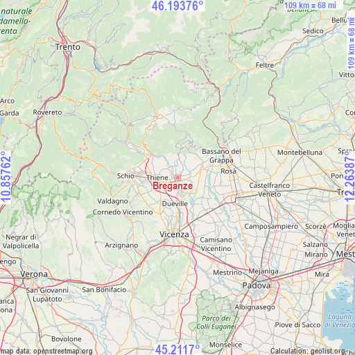
Breganze GPS coordinates[2]
45° 42' 17.604" North, 11° 33' 38.664" East
| Map corner | latitude | longitude |
|---|---|---|
| Upper-left | 46.19376°, | 10.85762° |
| Center: | 45.70489°, | 11.56074° |
| Lower-right: | 45.2117°, | 12.26387° |
| Map W x H: | 109.2×109.2 km | = 67.9×67.9mi |
| max Lat: | 47.04031° ⇑18.6% North |
| Breganze: | 45.70489° |
| min Lat: | ⇓81.4% South 35.50142° |
| min Long | Breganze | max Long |
| 6.69888° | 11.56074° | 18.48682° |
| W 50.2%⇐ | ⇒49.8% E |
Elevation
Elevation of Breganze is 108 m = 354 ft, and this is 198.7 m = 652 ft below average elevation for this country.
| Max E: |
2085 m = 6841 ft | 68.1% |
| Avg. | 306.7 m = 1006 ft | |
| Breganze | 108 m = 354 ft | |
Min E: |
-4 m = -13 ft | 31.9% |
See also: Italy elevation on elevation.city.
Geographical zone
Breganze is located in North temperate zone (between Tropic of Cancer and the Arctic Circle). Distance of this North polar circle is 2319.3 km =1441.1 mi to North.| Distance of | km | miles | from Breganze |
|---|---|---|---|
| North Pole | 4925.2 | 3060.4 | to North |
| Arctic Circle | 2319.3 | 1441.1 | to North |
| Tropic Cancer | 2476 | 1538.5 | to South |
| Equator | 5081.9 | 3157.7 | to South |


Nearby cities:
15 places around Breganze: (largest is in red/bold)
• Fara Vicentino
4.5 km =2.8 mi,  344°
344°
• Levà
4.8 km =3 mi,  206°
206°
• Lugo di Vicenza
5.2 km =3.2 mi,  331°
331°
• Maragnole
3.9 km =2.4 mi,  120°
120°
• Mason Vicentino
3.9 km =2.4 mi,  66°
66°
• Mirabella
2.1 km =1.3 mi,  164°
164°
• Montecchio Precalcino
4.4 km =2.7 mi,  177°
177°
• Mure
5.1 km =3.2 mi,  49°
49°
• Preara-Moraro-Levà Nord
3.1 km =1.9 mi, 206°
• Rozzampia
5.4 km =3.4 mi,  238°
238°
• Sandrigo
5.4 km =3.4 mi, 155°
• Sarcedo
2.4 km =1.5 mi,  260°
260°
• Villa di Molvena
5.5 km =3.4 mi,  63°
63°
• Villaraspa
5.3 km =3.3 mi, 73°
• Zugliano
4 km =2.5 mi,  314°
314°
Sources, notices
• [Note1] Compared only with cities in Italy existing in our database
• [Src1] Map data: © OpenStreetMap contributors (CC-BY-SA)
• [Src2] Other city data from geonames.org with taken over terms of usage.
• [Src3] Geographical zone / Annual Mean Temperature by Robert A. Rohde @ Wikipedia
