Poggioreale geodata
Poggioreale (Campania) is a populated place; located in Italy in Europe/Rome (GMT+2) time zone. With population of 23,654 people, there are 353 cities with bigger population in this country. Compared to other cities in Italy, 80.5% of cities are located further ↑North; 80.8% of cities are located further ←West and 84.1% of cities have higher elevation than Poggioreale. Note1
Administrative division(s):
- Level 1: Campania
- Level 2: Napoli
- Level 3: Napoli
- Level 4: Municipalità 4


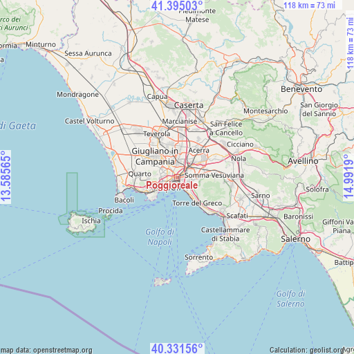
Poggioreale GPS coordinates[2]
40° 51' 55.548" North, 14° 17' 19.572" East
| Map corner | latitude | longitude |
|---|---|---|
| Upper-left | 41.39503°, | 13.58565° |
| Center: | 40.86543°, | 14.28877° |
| Lower-right: | 40.33156°, | 14.9919° |
| Map W x H: | 118.2×118.2 km | = 73.4×73.4mi |
| max Lat: | 47.04031° ⇑80.5% North |
| Poggioreale: | 40.86543° |
| min Lat: | ⇓19.5% South 35.50142° |
| min Long | Poggioreale | max Long |
| 6.69888° | 14.28877° | 18.48682° |
| W 80.8%⇐ | ⇒19.2% E |
Elevation
Elevation of Poggioreale is 34 m = 112 ft, and this is 272.7 m = 895 ft below average elevation for this country.
| Max E: |
2085 m = 6841 ft | 84.1% |
| Avg. | 306.7 m = 1006 ft | |
| Poggioreale | 34 m = 112 ft | |
Min E: |
-4 m = -13 ft | 15.9% |
See also: Italy elevation on elevation.city.
Geographical zone
Poggioreale is located in North temperate zone (between Tropic of Cancer and the Arctic Circle). Distance of this Northern Tropic circle is 1937.9 km =1204.2 mi to South.| Distance of | km | miles | from Poggioreale |
|---|---|---|---|
| North Pole | 5463.3 | 3394.7 | to North |
| Arctic Circle | 2857.4 | 1775.5 | to North |
| Tropic Cancer | 1937.9 | 1204.2 | to South |
| Equator | 4543.8 | 2823.4 | to South |


Nearby cities:
15 places around Poggioreale: (largest is in red/bold)
• Arpino
3.7 km =2.3 mi,  45°
45°
• Barra
3.6 km =2.2 mi,  135°
135°
• Mercato
2.6 km =1.6 mi,  211°
211°
• Naples
2.3 km =1.4 mi,  229°
229°
• Pendino
3 km =1.9 mi, 226°
• Ponticelli
3.7 km =2.3 mi,  109°
109°
• Porto
3.6 km =2.2 mi, 227°
• San Carlo All'Arena
2.2 km =1.4 mi,  269°
269°
• San Giovanni a Teduccio
3.4 km =2.1 mi,  154°
154°
• San Giuseppe
3.9 km =2.4 mi, 234°
• San Lorenzo
2.2 km =1.4 mi,  244°
244°
• San Pietro a Patierno
2.3 km =1.4 mi,  2°
2°
• Stella
3.1 km =1.9 mi,  259°
259°
• Vicaria
1.4 km =0.9 mi,  251°
251°
• Zona Industriale
2 km =1.2 mi,  192°
192°
Sources, notices
• [Note1] Compared only with cities in Italy existing in our database
• [Src1] Map data: © OpenStreetMap contributors (CC-BY-SA)
• [Src2] Other city data from geonames.org with taken over terms of usage.
• [Src3] Geographical zone / Annual Mean Temperature by Robert A. Rohde @ Wikipedia
