Notaresco geodata
Notaresco (Abruzzo) is a seat of a third-order administrative division; located in Italy in Europe/Rome (GMT+2) time zone. With population of 2,656 people, there are 3362 cities with bigger population in this country. Compared to other cities in Italy, 65.4% of cities are located further ↑North; 77.4% of cities are located further ←West and 51.1% of cities have lower elevation than Notaresco. Note1


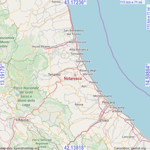
Notaresco GPS coordinates[2]
42° 39' 26.712" North, 13° 53' 41.676" East
| Map corner | latitude | longitude |
|---|---|---|
| Upper-left | 43.17236°, | 13.19179° |
| Center: | 42.65742°, | 13.89491° |
| Lower-right: | 42.13818°, | 14.59804° |
| Map W x H: | 115×115 km | = 71.5×71.5mi |
| max Lat: | 47.04031° ⇑65.4% North |
| Notaresco: | 42.65742° |
| min Lat: | ⇓34.6% South 35.50142° |
| min Long | Notaresco | max Long |
| 6.69888° | 13.89491° | 18.48682° |
| W 77.4%⇐ | ⇒22.6% E |
Elevation
Elevation of Notaresco is 241 m = 791 ft, and this is 65.7 m = 216 ft below average elevation for this country.
| Max E: |
2085 m = 6841 ft | 48.9% |
| Avg. | 306.7 m = 1006 ft | |
| Notaresco | 241 m = 791 ft | |
Min E: |
-4 m = -13 ft | 51.1% |
See also: Italy elevation on elevation.city.
Geographical zone
Notaresco is located in North temperate zone (between Tropic of Cancer and the Arctic Circle). Distance of this Northern Tropic circle is 2137.1 km =1327.9 mi to South.| Distance of | km | miles | from Notaresco |
|---|---|---|---|
| North Pole | 5264 | 3270.9 | to North |
| Arctic Circle | 2658.1 | 1651.7 | to North |
| Tropic Cancer | 2137.1 | 1327.9 | to South |
| Equator | 4743.1 | 2947.2 | to South |


Nearby cities:
15 places around Notaresco: (largest is in red/bold)
• Bellante Stazione
7.1 km =4.4 mi,  320°
320°
• Canzano
7.5 km =4.7 mi,  259°
259°
• Castellalto
6.4 km =4 mi,  289°
289°
• Castelnuovo Vomano
4.8 km =3 mi,  229°
229°
• Colleranesco
7.9 km =4.9 mi,  26°
26°
• Cologna Paese
6.1 km =3.8 mi,  47°
47°
• Fontanelle
5.1 km =3.2 mi,  150°
150°
• Montepagano
8 km =5 mi,  74°
74°
• Morro d'Oro
2.2 km =1.4 mi, 74°
• Pagliare
4.9 km =3 mi,  108°
108°
• Petriccione
6.5 km =4 mi,  314°
314°
• Pianura Vomano
3.5 km =2.2 mi, 150°
• San Giovanni
7.5 km =4.7 mi,  92°
92°
• Santa Lucia
5.8 km =3.6 mi,  102°
102°
• Villa Zaccheo
5.9 km =3.7 mi, 318°
Sources, notices
• [Note1] Compared only with cities in Italy existing in our database
• [Src1] Map data: © OpenStreetMap contributors (CC-BY-SA)
• [Src2] Other city data from geonames.org with taken over terms of usage.
• [Src3] Geographical zone / Annual Mean Temperature by Robert A. Rohde @ Wikipedia
