Foria geodata
Foria (Campania) is a populated place; located in Italy in Europe/Rome (GMT+2) time zone. With population of 519 people, there are 9740 cities with bigger population in this country. Compared to other cities in Italy, 87.2% of cities are located further ↑North; 89.7% of cities are located further ←West and 61.1% of cities have lower elevation than Foria. Note1


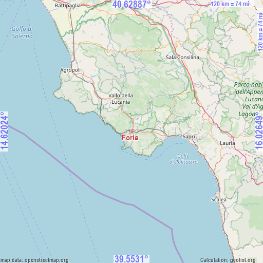
Foria GPS coordinates[2]
40° 5' 35.196" North, 15° 19' 24.096" East
| Map corner | latitude | longitude |
|---|---|---|
| Upper-left | 40.62887°, | 14.62024° |
| Center: | 40.09311°, | 15.32336° |
| Lower-right: | 39.5531°, | 16.02649° |
| Map W x H: | 119.6×119.6 km | = 74.3×74.3mi |
| max Lat: | 47.04031° ⇑87.2% North |
| Foria: | 40.09311° |
| min Lat: | ⇓12.8% South 35.50142° |
| min Long | Foria | max Long |
| 6.69888° | 15.32336° | 18.48682° |
| W 89.7%⇐ | ⇒10.3% E |
Elevation
Elevation of Foria is 307 m = 1007 ft, and this is 0.30000000000001 m = 1 ft above average elevation for this country.
| Max E: |
2085 m = 6841 ft | 38.9% |
| Foria | 307 m 1007 ft | |
| Avg. | 306.7 m = 1006 ft | |
Min E: |
-4 m = -13 ft | 61.1% |
See also: Italy elevation on elevation.city.
Geographical zone
Foria is located in North temperate zone (between Tropic of Cancer and the Arctic Circle). Distance of this Northern Tropic circle is 1852 km =1150.8 mi to South.| Distance of | km | miles | from Foria |
|---|---|---|---|
| North Pole | 5549.1 | 3448 | to North |
| Arctic Circle | 2943.2 | 1828.8 | to North |
| Tropic Cancer | 1852 | 1150.8 | to South |
| Equator | 4457.9 | 2770 | to South |


Nearby cities:
15 places around Foria: (largest is in red/bold)
• Acquavena
10.4 km =6.5 mi,  95°
95°
• Camerota
7.8 km =4.8 mi,  149°
149°
• Casaburi
6.2 km =3.9 mi,  196°
196°
• Celle di Bulgheria
6.8 km =4.2 mi,  87°
87°
• Centola
2.8 km =1.7 mi, 200°
• Cuccaro Vetere
8 km =5 mi,  349°
349°
• Futani
6.5 km =4 mi,  0°
0°
• Lentiscosa
9.4 km =5.8 mi, 147°
• Licusati
5.6 km =3.5 mi,  141°
141°
• Montano Antilia
8.4 km =5.2 mi,  23°
23°
• Palinuro
6.9 km =4.3 mi,  205°
205°
• Pisciotta
7.8 km =4.8 mi,  283°
283°
• Poderia
5.1 km =3.2 mi, 88°
• Roccagloriosa
9.7 km =6 mi,  81°
81°
• San Mauro la Bruca
4.3 km =2.7 mi,  319°
319°
Sources, notices
• [Note1] Compared only with cities in Italy existing in our database
• [Src1] Map data: © OpenStreetMap contributors (CC-BY-SA)
• [Src2] Other city data from geonames.org with taken over terms of usage.
• [Src3] Geographical zone / Annual Mean Temperature by Robert A. Rohde @ Wikipedia
