Bussoleno geodata
Bussoleno (Piedmont) is a seat of a third-order administrative division; located in Italy in Europe/Rome (GMT+2) time zone. With population of 5,396 people, there are 1813 cities with bigger population in this country. Compared to other cities in Italy, 63.5% of cities are located further ↓South; 99.6% of cities are located further →East and 74.4% of cities have lower elevation than Bussoleno. Note1


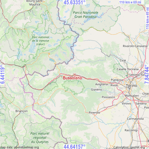
Bussoleno GPS coordinates[2]
45° 8' 22.92" North, 7° 8' 39.552" East
| Map corner | latitude | longitude |
|---|---|---|
| Upper-left | 45.63351°, | 6.44119° |
| Center: | 45.1397°, | 7.14432° |
| Lower-right: | 44.64157°, | 7.84744° |
| Map W x H: | 110.3×110.3 km | = 68.5×68.5mi |
| max Lat: | 47.04031° ⇑36.5% North |
| Bussoleno: | 45.1397° |
| min Lat: | ⇓63.5% South 35.50142° |
| min Long | Bussoleno | max Long |
| 6.69888° | 7.14432° | 18.48682° |
| W 0.4%⇐ | ⇒99.6% E |
Elevation
Elevation of Bussoleno is 444 m = 1457 ft, and this is 137.3 m = 450 ft above average elevation for this country.
| Max E: |
2085 m = 6841 ft | 25.6% |
| Bussoleno | 444 m 1457 ft | |
| Avg. | 306.7 m = 1006 ft | |
Min E: |
-4 m = -13 ft | 74.4% |
See also: Italy elevation on elevation.city.
Geographical zone
Bussoleno is located in North temperate zone (between Tropic of Cancer and the Arctic Circle). Distance of this North polar circle is 2382.1 km =1480.2 mi to North.| Distance of | km | miles | from Bussoleno |
|---|---|---|---|
| North Pole | 4988 | 3099.4 | to North |
| Arctic Circle | 2382.1 | 1480.2 | to North |
| Tropic Cancer | 2413.1 | 1499.4 | to South |
| Equator | 5019.1 | 3118.7 | to South |


Nearby cities:
15 places around Bussoleno: (largest is in red/bold)
• Baratte
7.9 km =4.9 mi,  113°
113°
• Borgone Susa
7.4 km =4.6 mi,  104°
104°
• Bruzolo
3.9 km =2.4 mi,  88°
88°
• Chianocco
2.2 km =1.4 mi,  63°
63°
• Giaglione
10.1 km =6.3 mi,  269°
269°
• Grangia
1.5 km =0.9 mi,  77°
77°
• Gravere
10.1 km =6.3 mi,  260°
260°
• Mattie
3.3 km =2.1 mi,  223°
223°
• Meana di Susa
6.5 km =4 mi,  252°
252°
• Mompantero
8 km =5 mi,  276°
276°
• San Didero
5.4 km =3.4 mi, 95°
• San Giorio
2.9 km =1.8 mi,  117°
117°
• San Giuseppe
8 km =5 mi, 275°
• Susa
6.8 km =4.2 mi, 267°
• Villar Focchiardo
8 km =5 mi, 112°
Sources, notices
• [Note1] Compared only with cities in Italy existing in our database
• [Src1] Map data: © OpenStreetMap contributors (CC-BY-SA)
• [Src2] Other city data from geonames.org with taken over terms of usage.
• [Src3] Geographical zone / Annual Mean Temperature by Robert A. Rohde @ Wikipedia
