Gravere geodata
Gravere (Piedmont) is a seat of a third-order administrative division; located in Italy in Europe/Rome (GMT+2) time zone. With population of 608 people, there are 8934 cities with bigger population in this country. Compared to other cities in Italy, 63.1% of cities are located further ↓South; 99.8% of cities are located further →East and 92.2% of cities have lower elevation than Gravere. Note1


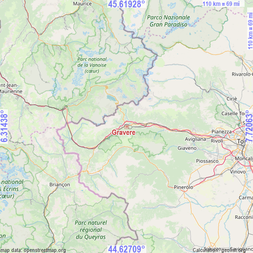
Gravere GPS coordinates[2]
45° 7' 31.224" North, 7° 1' 3.036" East
| Map corner | latitude | longitude |
|---|---|---|
| Upper-left | 45.61928°, | 6.31438° |
| Center: | 45.12534°, | 7.01751° |
| Lower-right: | 44.62709°, | 7.72063° |
| Map W x H: | 110.3×110.3 km | = 68.5×68.5mi |
| max Lat: | 47.04031° ⇑36.9% North |
| Gravere: | 45.12534° |
| min Lat: | ⇓63.1% South 35.50142° |
| min Long | Gravere | max Long |
| 6.69888° | 7.01751° | 18.48682° |
| W 0.2%⇐ | ⇒99.8% E |
Elevation
Elevation of Gravere is 777 m = 2549 ft, and this is 470.3 m = 1543 ft above average elevation for this country.
| Max E: |
2085 m = 6841 ft | 7.8% |
| Gravere | 777 m 2549 ft | |
| Avg. | 306.7 m = 1006 ft | |
Min E: |
-4 m = -13 ft | 92.2% |
See also: Italy elevation on elevation.city.
Geographical zone
Gravere is located in North temperate zone (between Tropic of Cancer and the Arctic Circle). Distance of this North polar circle is 2383.7 km =1481.2 mi to North.| Distance of | km | miles | from Gravere |
|---|---|---|---|
| North Pole | 4989.6 | 3100.4 | to North |
| Arctic Circle | 2383.7 | 1481.2 | to North |
| Tropic Cancer | 2411.5 | 1498.4 | to South |
| Equator | 5017.5 | 3117.7 | to South |


Nearby cities:
15 places around Gravere: (largest is in red/bold)
• Bussoleno
10.1 km =6.3 mi,  80°
80°
• Chiomonte
2.7 km =1.7 mi,  255°
255°
• Exilles
7.6 km =4.7 mi,  245°
245°
• Fenestrelle
10.3 km =6.4 mi,  165°
165°
• Giaglione
1.5 km =0.9 mi,  353°
353°
• Grangia
11.5 km =7.1 mi, 80°
• Mattie
7.7 km =4.8 mi,  95°
95°
• Meana di Susa
3.7 km =2.3 mi, 95°
• Mompantero
3.2 km =2 mi,  39°
39°
• Moncenisio
9.1 km =5.7 mi,  343°
343°
• Novalesa
7.3 km =4.5 mi,  357°
357°
• San Giuseppe
3.1 km =1.9 mi, 39°
• Susa
3.4 km =2.1 mi,  68°
68°
• Usseaux
8.5 km =5.3 mi, 174°
• Venaus
3.6 km =2.2 mi, 351°
Sources, notices
• [Note1] Compared only with cities in Italy existing in our database
• [Src1] Map data: © OpenStreetMap contributors (CC-BY-SA)
• [Src2] Other city data from geonames.org with taken over terms of usage.
• [Src3] Geographical zone / Annual Mean Temperature by Robert A. Rohde @ Wikipedia
