Barbania geodata
Barbania (Piedmont) is a seat of a third-order administrative division; located in Italy in Europe/Rome (GMT+2) time zone. With population of 875 people, there are 7291 cities with bigger population in this country. Compared to other cities in Italy, 67.2% of cities are located further ↓South; 96.8% of cities are located further →East and 65.8% of cities have lower elevation than Barbania. Note1


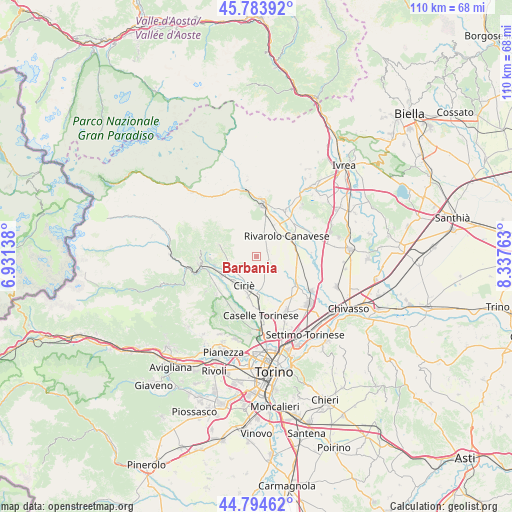
Barbania GPS coordinates[2]
45° 17' 29.148" North, 7° 38' 4.2" East
| Map corner | latitude | longitude |
|---|---|---|
| Upper-left | 45.78392°, | 6.93138° |
| Center: | 45.29143°, | 7.6345° |
| Lower-right: | 44.79462°, | 8.33763° |
| Map W x H: | 110×110 km | = 68.4×68.4mi |
| max Lat: | 47.04031° ⇑32.8% North |
| Barbania: | 45.29143° |
| min Lat: | ⇓67.2% South 35.50142° |
| min Long | Barbania | max Long |
| 6.69888° | 7.6345° | 18.48682° |
| W 3.2%⇐ | ⇒96.8% E |
Elevation
Elevation of Barbania is 351 m = 1152 ft, and this is 44.3 m = 145 ft above average elevation for this country.
| Max E: |
2085 m = 6841 ft | 34.2% |
| Barbania | 351 m 1152 ft | |
| Avg. | 306.7 m = 1006 ft | |
Min E: |
-4 m = -13 ft | 65.8% |
See also: Italy elevation on elevation.city.
Geographical zone
Barbania is located in North temperate zone (between Tropic of Cancer and the Arctic Circle). Distance of this North polar circle is 2365.2 km =1469.7 mi to North.| Distance of | km | miles | from Barbania |
|---|---|---|---|
| North Pole | 4971.1 | 3088.9 | to North |
| Arctic Circle | 2365.2 | 1469.7 | to North |
| Tropic Cancer | 2430 | 1509.9 | to South |
| Equator | 5035.9 | 3129.2 | to South |


Nearby cities:
15 places around Barbania: (largest is in red/bold)
• Benne
6.5 km =4 mi,  268°
268°
• Busano
4.8 km =3 mi,  21°
21°
• Ciriè
6.8 km =4.2 mi,  202°
202°
• Favria
6.1 km =3.8 mi,  43°
43°
• Forno Canavese
6.7 km =4.2 mi,  328°
328°
• Front
2.7 km =1.7 mi,  119°
119°
• Grosso
7.2 km =4.5 mi,  237°
237°
• Levone
3.6 km =2.2 mi,  321°
321°
• Oglianico
7.2 km =4.5 mi, 38°
• Pertusio
7.2 km =4.5 mi,  4°
4°
• Rivara
4.5 km =2.8 mi,  14°
14°
• Rocca Canavese
4.8 km =3 mi,  293°
293°
• San Carlo Canavese
5.7 km =3.5 mi, 203°
• San Ponso
7.2 km =4.5 mi, 23°
• Vauda Canavese Superiore
1.8 km =1.1 mi,  221°
221°
Sources, notices
• [Note1] Compared only with cities in Italy existing in our database
• [Src1] Map data: © OpenStreetMap contributors (CC-BY-SA)
• [Src2] Other city data from geonames.org with taken over terms of usage.
• [Src3] Geographical zone / Annual Mean Temperature by Robert A. Rohde @ Wikipedia
