Praso geodata
Praso (Trentino-Alto Adige) is a seat of a third-order administrative division; located in Italy in Europe/Rome (GMT+2) time zone. With population of 309 people, there are 10634 cities with bigger population in this country. Compared to other cities in Italy, 90.6% of cities are located further ↓South; 61.5% of cities are located further →East and 92.9% of cities have lower elevation than Praso. Note1
Administrative division(s):
- Level 1: Trentino-Alto Adige
- Level 2: Provincia autonoma di Trento
- Level 3: Valdaone


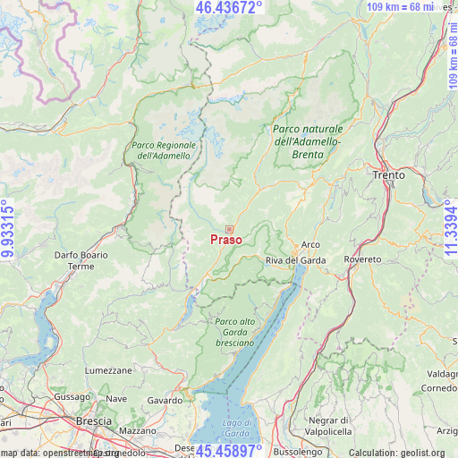
Praso GPS coordinates[2]
45° 57' 0" North, 10° 38' 10.572" East
| Map corner | latitude | longitude |
|---|---|---|
| Upper-left | 46.43672°, | 9.93315° |
| Center: | 45.95°, | 10.63627° |
| Lower-right: | 45.45897°, | 11.3394° |
| Map W x H: | 108.7×108.7 km | = 67.5×67.5mi |
| max Lat: | 47.04031° ⇑9.4% North |
| Praso: | 45.95° |
| min Lat: | ⇓90.6% South 35.50142° |
| min Long | Praso | max Long |
| 6.69888° | 10.63627° | 18.48682° |
| W 38.5%⇐ | ⇒61.5% E |
Elevation
Elevation of Praso is 795 m = 2608 ft, and this is 488.3 m = 1602 ft above average elevation for this country.
| Max E: |
2085 m = 6841 ft | 7.1% |
| Praso | 795 m 2608 ft | |
| Avg. | 306.7 m = 1006 ft | |
Min E: |
-4 m = -13 ft | 92.9% |
See also: Italy elevation on elevation.city.
Geographical zone
Praso is located in North temperate zone (between Tropic of Cancer and the Arctic Circle). Distance of this North polar circle is 2292 km =1424.2 mi to North.| Distance of | km | miles | from Praso |
|---|---|---|---|
| North Pole | 4897.9 | 3043.4 | to North |
| Arctic Circle | 2292 | 1424.2 | to North |
| Tropic Cancer | 2503.2 | 1555.4 | to South |
| Equator | 5109.2 | 3174.7 | to South |


Nearby cities:
15 places around Praso: (largest is in red/bold)
• Bersone
0.7 km =0.4 mi,  201°
201°
• Bondo
7.1 km =4.4 mi,  37°
37°
• Breguzzo
7.9 km =4.9 mi, 36°
• Brione
7.1 km =4.4 mi,  210°
210°
• Castel Condino
4.7 km =2.9 mi, 213°
• Cimego
4.6 km =2.9 mi, 202°
• Condino
8.3 km =5.2 mi, 203°
• Creto
1 km =0.6 mi,  162°
162°
• Daone
1.2 km =0.7 mi,  255°
255°
• Lardaro
2.9 km =1.8 mi, 41°
• Pieve di Bono
0.9 km =0.6 mi, 160°
• Prezzo
1.7 km =1.1 mi,  188°
188°
• Roncone
4.4 km =2.7 mi,  34°
34°
• Tiarno di Sopra
7.1 km =4.4 mi, 156°
• Tiarno di Sotto
7.2 km =4.5 mi,  148°
148°
Sources, notices
• [Note1] Compared only with cities in Italy existing in our database
• [Src1] Map data: © OpenStreetMap contributors (CC-BY-SA)
• [Src2] Other city data from geonames.org with taken over terms of usage.
• [Src3] Geographical zone / Annual Mean Temperature by Robert A. Rohde @ Wikipedia
