Gaggino geodata
Gaggino (Lombardy) is a seat of a third-order administrative division; located in Italy in Europe/Rome (GMT+2) time zone. With population of 2,533 people, there are 3491 cities with bigger population in this country. Compared to other cities in Italy, 86.1% of cities are located further ↓South; 81.8% of cities are located further →East and 68.3% of cities have lower elevation than Gaggino. Note1


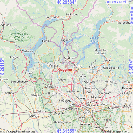
Gaggino GPS coordinates[2]
45° 48' 28.332" North, 8° 57' 51.372" East
| Map corner | latitude | longitude |
|---|---|---|
| Upper-left | 46.29584°, | 8.26115° |
| Center: | 45.80787°, | 8.96427° |
| Lower-right: | 45.31559°, | 9.6674° |
| Map W x H: | 109×109 km | = 67.7×67.7mi |
| max Lat: | 47.04031° ⇑13.9% North |
| Gaggino: | 45.80787° |
| min Lat: | ⇓86.1% South 35.50142° |
| min Long | Gaggino | max Long |
| 6.69888° | 8.96427° | 18.48682° |
| W 18.2%⇐ | ⇒81.8% E |
Elevation
Elevation of Gaggino is 376 m = 1234 ft, and this is 69.3 m = 227 ft above average elevation for this country.
| Max E: |
2085 m = 6841 ft | 31.7% |
| Gaggino | 376 m 1234 ft | |
| Avg. | 306.7 m = 1006 ft | |
Min E: |
-4 m = -13 ft | 68.3% |
See also: Italy elevation on elevation.city.
Geographical zone
Gaggino is located in North temperate zone (between Tropic of Cancer and the Arctic Circle). Distance of this North polar circle is 2307.8 km =1434 mi to North.| Distance of | km | miles | from Gaggino |
|---|---|---|---|
| North Pole | 4913.7 | 3053.2 | to North |
| Arctic Circle | 2307.8 | 1434 | to North |
| Tropic Cancer | 2487.4 | 1545.6 | to South |
| Equator | 5093.4 | 3164.9 | to South |


Nearby cities:
15 places around Gaggino: (largest is in red/bold)
• Albiolo
2 km =1.2 mi,  262°
262°
• Beregazzo con Figliaro
3.4 km =2.1 mi,  207°
207°
• Bizzarone
3.4 km =2.1 mi,  330°
330°
• Cagno
3.7 km =2.3 mi,  275°
275°
• Camnago-Boscone
1.2 km =0.7 mi,  106°
106°
• Drezzo
2.5 km =1.6 mi,  70°
70°
• Faloppio
0.2 km =0.1 mi,  1°
1°
• Figliaro
3.5 km =2.2 mi, 206°
• Gironico al Piano
3.1 km =1.9 mi,  103°
103°
• Olgiate Comasco
2.6 km =1.6 mi,  173°
173°
• Parè
3.5 km =2.2 mi,  84°
84°
• Ronago
3.1 km =1.9 mi,  28°
28°
• Solbiate
3.1 km =1.9 mi,  230°
230°
• Uggiate Trevano
1.8 km =1.1 mi,  348°
348°
• Valmorea
2.7 km =1.7 mi,  287°
287°
Sources, notices
• [Note1] Compared only with cities in Italy existing in our database
• [Src1] Map data: © OpenStreetMap contributors (CC-BY-SA)
• [Src2] Other city data from geonames.org with taken over terms of usage.
• [Src3] Geographical zone / Annual Mean Temperature by Robert A. Rohde @ Wikipedia
