Grotta dell'Olmo I geodata
Grotta dell'Olmo I (Campania) is a populated place; located in Italy in Europe/Rome (GMT+2) time zone. With population of 946 people, there are 6880 cities with bigger population in this country. Compared to other cities in Italy, 80.1% of cities are located further ↑North; 78.9% of cities are located further ←West and 74.7% of cities have higher elevation than Grotta dell'Olmo I. Note1


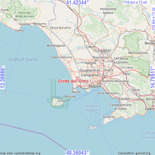
Grotta dell'Olmo I GPS coordinates[2]
40° 53' 38.652" North, 14° 5' 31.128" East
| Map corner | latitude | longitude |
|---|---|---|
| Upper-left | 41.42344°, | 13.38886° |
| Center: | 40.89407°, | 14.09198° |
| Lower-right: | 40.36043°, | 14.79511° |
| Map W x H: | 118.2×118.2 km | = 73.4×73.4mi |
| max Lat: | 47.04031° ⇑80.1% North |
| Grotta dell'Olmo I: | 40.89407° |
| min Lat: | ⇓19.9% South 35.50142° |
| min Long | Grotta dell'Olm | max Long |
| 6.69888° | 14.09198° | 18.48682° |
| W 78.9%⇐ | ⇒21.1% E |
Elevation
Elevation of Grotta dell'Olmo I is 75 m = 246 ft, and this is 231.7 m = 760 ft below average elevation for this country.
| Max E: |
2085 m = 6841 ft | 74.7% |
| Avg. | 306.7 m = 1006 ft | |
| Grotta dell'Olmo I | 75 m = 246 ft | |
Min E: |
-4 m = -13 ft | 25.3% |
See also: Italy elevation on elevation.city.
Geographical zone
Grotta dell'Olmo I is located in North temperate zone (between Tropic of Cancer and the Arctic Circle). Distance of this Northern Tropic circle is 1941.1 km =1206.1 mi to South.| Distance of | km | miles | from Grotta dell'Olmo I |
|---|---|---|---|
| North Pole | 5460.1 | 3392.7 | to North |
| Arctic Circle | 2854.2 | 1773.5 | to North |
| Tropic Cancer | 1941.1 | 1206.1 | to South |
| Equator | 4547 | 2825.4 | to South |


Nearby cities:
15 places around Grotta dell'Olmo I: (largest is in red/bold)
• Amodio-Massariola
0.6 km =0.4 mi,  188°
188°
• Castello Monteleone
2.7 km =1.7 mi,  74°
74°
• Corigliano
5.6 km =3.5 mi, 67°
• Country Park
1.8 km =1.1 mi,  222°
222°
• Festinese
0.7 km =0.4 mi,  268°
268°
• Masseria Vecchia Ovest
2.3 km =1.4 mi,  257°
257°
• Monterusciello
2.9 km =1.8 mi,  195°
195°
• Parco Mazzola
6 km =3.7 mi,  320°
320°
• Pianura
7.9 km =4.9 mi,  119°
119°
• Pozzuoli
5.6 km =3.5 mi,  177°
177°
• Qualiano
5.9 km =3.7 mi,  61°
61°
• Quarto
4.7 km =2.9 mi,  112°
112°
• San Pietro
6.4 km =4 mi, 74°
• Torre Caracciolo
7.6 km =4.7 mi, 105°
• Torretta-Scalzapecora
4 km =2.5 mi, 63°
Sources, notices
• [Note1] Compared only with cities in Italy existing in our database
• [Src1] Map data: © OpenStreetMap contributors (CC-BY-SA)
• [Src2] Other city data from geonames.org with taken over terms of usage.
• [Src3] Geographical zone / Annual Mean Temperature by Robert A. Rohde @ Wikipedia
