Padula geodata
Padula (Calabria) is a populated place; located in Italy in Europe/Rome (GMT+2) time zone. With population of 595 people, there are 9056 cities with bigger population in this country. Compared to other cities in Italy, 91% of cities are located further ↑North; 94.9% of cities are located further ←West and 50.8% of cities have higher elevation than Padula. Note1
Administrative division(s):
- Level 1: Calabria
- Level 2: Provincia di Cosenza
- Level 3: San Pietro in Guarano


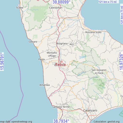
Padula GPS coordinates[2]
39° 20' 21.516" North, 16° 16' 12.468" East
| Map corner | latitude | longitude |
|---|---|---|
| Upper-left | 39.88099°, | 15.56701° |
| Center: | 39.33931°, | 16.27013° |
| Lower-right: | 38.7934°, | 16.97326° |
| Map W x H: | 120.9×120.9 km | = 75.1×75.1mi |
| max Lat: | 47.04031° ⇑91% North |
| Padula: | 39.33931° |
| min Lat: | ⇓9% South 35.50142° |
| min Long | Padula | max Long |
| 6.69888° | 16.27013° | 18.48682° |
| W 94.9%⇐ | ⇒5.1% E |
Elevation
Elevation of Padula is 230 m = 755 ft, and this is 76.7 m = 252 ft below average elevation for this country.
| Max E: |
2085 m = 6841 ft | 50.8% |
| Avg. | 306.7 m = 1006 ft | |
| Padula | 230 m = 755 ft | |
Min E: |
-4 m = -13 ft | 49.2% |
See also: Italy elevation on elevation.city.
Geographical zone
Padula is located in North temperate zone (between Tropic of Cancer and the Arctic Circle). Distance of this Northern Tropic circle is 1768.2 km =1098.7 mi to South.| Distance of | km | miles | from Padula |
|---|---|---|---|
| North Pole | 5632.9 | 3500.1 | to North |
| Arctic Circle | 3027.1 | 1881 | to North |
| Tropic Cancer | 1768.2 | 1098.7 | to South |
| Equator | 4374.1 | 2717.9 | to South |


Nearby cities:
15 places around Padula: (largest is in red/bold)
• Andreotta
5.7 km =3.5 mi,  231°
231°
• Arcavacata
5.7 km =3.5 mi,  291°
291°
• Arente
4.9 km =3 mi,  352°
352°
• Capitano
2 km =1.2 mi,  0°
0°
• Castiglione Cosentino
2.2 km =1.4 mi,  46°
46°
• Cosenza
4.7 km =2.9 mi,  198°
198°
• Lappano
4.2 km =2.6 mi,  121°
121°
• Ortomatera
5.1 km =3.2 mi,  251°
251°
• Quattromiglia
2.8 km =1.7 mi,  282°
282°
• Redipiano
4.3 km =2.7 mi,  69°
69°
• Rovito
5.5 km =3.4 mi,  131°
131°
• San Pietro in Guarano
3.7 km =2.3 mi,  85°
85°
• Santo Stefano
6.2 km =3.9 mi, 278°
• Surdo
6.1 km =3.8 mi,  257°
257°
• Zumpano
3.7 km =2.3 mi,  148°
148°
Sources, notices
• [Note1] Compared only with cities in Italy existing in our database
• [Src1] Map data: © OpenStreetMap contributors (CC-BY-SA)
• [Src2] Other city data from geonames.org with taken over terms of usage.
• [Src3] Geographical zone / Annual Mean Temperature by Robert A. Rohde @ Wikipedia
