Niigata geodata
Niigata is a seat of a first-order administrative division; located in Japan in Asia/Tokyo (GMT+9) time zone. With population of 505,272 people, there are 23 cities with bigger population in this country. Compared to other cities in Japan, 86.5% of cities are located further ↓South; 60.7% of cities are located further ←West and 100% of cities have higher elevation than Niigata. Note1


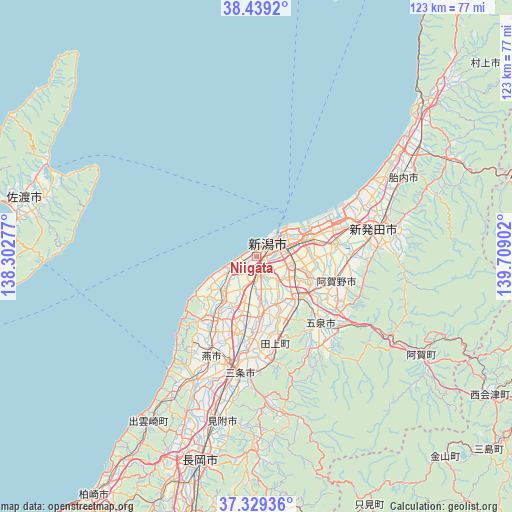
Niigata GPS coordinates[2]
37° 53' 10.932" North, 139° 0' 21.204" East
| Map corner | latitude | longitude |
|---|---|---|
| Upper-left | 38.4392°, | 138.30277° |
| Center: | 37.88637°, | 139.00589° |
| Lower-right: | 37.32936°, | 139.70902° |
| Map W x H: | 123.4×123.4 km | = 76.7×76.7mi |
| max Lat: | 45.40944° ⇑13.5% North |
| Niigata: | 37.88637° |
| min Lat: | ⇓86.5% South 24.34478° |
| min Long | Niigata | max Long |
| 123° | 139.00589° | 145.575° |
| W 60.7%⇐ | ⇒39.3% E |
Elevation
Elevation of Niigata is -2 m = -7 ft, and this is 86.6 m = 284 ft below average elevation for this country.
| Max E: |
1086 m = 3563 ft | 100% |
| Avg. | 84.6 m = 278 ft | |
| Niigata | -2 m = -7 ft | |
Min E: |
-2 m = -7 ft | 0% |
See also: Niigata elevation on elevation.city.
Geographical zone
Niigata is located in North temperate zone (between Tropic of Cancer and the Arctic Circle). Distance of this Northern Tropic circle is 1606.7 km =998.4 mi to South.| Distance of | km | miles | from Niigata |
|---|---|---|---|
| North Pole | 5794.5 | 3600.5 | to North |
| Arctic Circle | 3188.6 | 1981.3 | to North |
| Tropic Cancer | 1606.7 | 998.4 | to South |
| Equator | 4212.6 | 2617.6 | to South |


Nearby cities:
15 places around Niigata: (largest is in red/bold)
• Agano
22.7 km =14.1 mi,  123°
123°
• Gosen
22.1 km =13.7 mi,  140°
140°
• Kameda-honchō
9.3 km =5.8 mi,  99°
99°
• Kamo
24.8 km =15.4 mi,  174°
174°
• Maki
18.6 km =11.6 mi,  215°
215°
• Mitsuke
39.8 km =24.7 mi,  189°
189°
• Muramatsu
26 km =16.2 mi,  146°
146°
• Niitsu-honchō
14 km =8.7 mi,  133°
133°
• Sanjō
30.4 km =18.9 mi, 189°
• Shibata
29.6 km =18.4 mi,  76°
76°
• Shirone
13.7 km =8.5 mi, 174°
• Suibara
20.2 km =12.6 mi, 102°
• Tainai
38 km =23.6 mi,  58°
58°
• Tsubame
25.7 km =16 mi,  196°
196°
• Yoshida-kasugachō
25 km =15.5 mi,  205°
205°
Sources, notices
• [Note1] Compared only with cities in Japan existing in our database
• [Src1] Map data: © OpenStreetMap contributors (CC-BY-SA)
• [Src2] Other city data from geonames.org with taken over terms of usage.
• [Src3] Geographical zone / Annual Mean Temperature by Robert A. Rohde @ Wikipedia
