Iwade geodata
Iwade (Wakayama) is a seat of a second-order administrative division; located in Japan in Asia/Tokyo (GMT+9) time zone. With population of 55,633 people, there are 346 cities with bigger population in this country. Compared to other cities in Japan, 76.7% of cities are located further ↑North; 68.8% of cities are located further →East and 62.8% of cities have higher elevation than Iwade. Note1


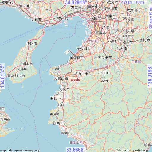
Iwade GPS coordinates[2]
34° 15' 0" North, 135° 19' 0.012" East
| Map corner | latitude | longitude |
|---|---|---|
| Upper-left | 34.82918°, | 134.61355° |
| Center: | 34.25°, | 135.31667° |
| Lower-right: | 33.6668°, | 136.0198° |
| Map W x H: | 129.2×129.2 km | = 80.3×80.3mi |
| max Lat: | 45.40944° ⇑76.7% North |
| Iwade: | 34.25° |
| min Lat: | ⇓23.3% South 24.34478° |
| min Long | Iwade | max Long |
| 123° | 135.31667° | 145.575° |
| W 31.2%⇐ | ⇒68.8% E |
Elevation
Elevation of Iwade is 17 m = 56 ft, and this is 67.6 m = 222 ft below average elevation for this country.
| Max E: |
1086 m = 3563 ft | 62.8% |
| Avg. | 84.6 m = 278 ft | |
| Iwade | 17 m = 56 ft | |
Min E: |
-2 m = -7 ft | 37.2% |
See also: Iwade elevation on elevation.city.
Geographical zone
Iwade is located in North temperate zone (between Tropic of Cancer and the Arctic Circle). Distance of this Northern Tropic circle is 1202.3 km =747.1 mi to South.| Distance of | km | miles | from Iwade |
|---|---|---|---|
| North Pole | 6198.8 | 3851.8 | to North |
| Arctic Circle | 3592.9 | 2232.5 | to North |
| Tropic Cancer | 1202.3 | 747.1 | to South |
| Equator | 3808.2 | 2366.3 | to South |


Nearby cities:
15 places around Iwade: (largest is in red/bold)
• Arida
26.2 km =16.3 mi,  224°
224°
• Hannan
11.1 km =6.9 mi,  326°
326°
• Hashimoto
28.5 km =17.7 mi,  74°
74°
• Izumi
28.1 km =17.5 mi,  22°
22°
• Izumisano
14.3 km =8.9 mi,  1°
1°
• Izumisano
18.5 km =11.5 mi, 0°
• Kainan
14.4 km =8.9 mi, 220°
• Kaizuka
22.4 km =13.9 mi,  7°
7°
• Kinokawa
8.9 km =5.5 mi,  75°
75°
• Kishiwada
24.5 km =15.2 mi, 10°
• Kōya
28.4 km =17.6 mi,  98°
98°
• Minato
15.8 km =9.8 mi,  255°
255°
• Sennan
11.8 km =7.3 mi,  337°
337°
• Tajiri
20.7 km =12.9 mi, 341°
• Wakayama
13.9 km =8.6 mi, 262°
Sources, notices
• [Note1] Compared only with cities in Japan existing in our database
• [Src1] Map data: © OpenStreetMap contributors (CC-BY-SA)
• [Src2] Other city data from geonames.org with taken over terms of usage.
• [Src3] Geographical zone / Annual Mean Temperature by Robert A. Rohde @ Wikipedia
