Kōya geodata
Kōya (Wakayama) is a populated place; located in Japan in Asia/Tokyo (GMT+9) time zone. With population of 5,013 people, there are 754 cities with bigger population in this country. Compared to other cities in Japan, 77.2% of cities are located further ↑North; 65% of cities are located further →East and 99.6% of cities have lower elevation than Kōya. Note1


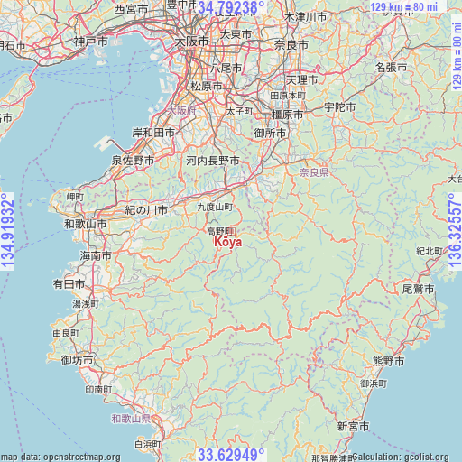
Kōya GPS coordinates[2]
34° 12' 46.584" North, 135° 37' 20.784" East
| Map corner | latitude | longitude |
|---|---|---|
| Upper-left | 34.79238°, | 134.91932° |
| Center: | 34.21294°, | 135.62244° |
| Lower-right: | 33.62949°, | 136.32557° |
| Map W x H: | 129.3×129.3 km | = 80.3×80.3mi |
| max Lat: | 45.40944° ⇑77.2% North |
| Kōya: | 34.21294° |
| min Lat: | ⇓22.8% South 24.34478° |
| min Long | Kōya | max Long |
| 123° | 135.62244° | 145.575° |
| W 35%⇐ | ⇒65% E |
Elevation
Elevation of Kōya is 793 m = 2602 ft, and this is 708.4 m = 2324 ft above average elevation for this country.
| Max E: |
1086 m = 3563 ft | 0.40000000000001% |
| Kōya | 793 m 2602 ft | |
| Avg. | 84.6 m = 278 ft | |
Min E: |
-2 m = -7 ft | 99.6% |
See also: Japan elevation on elevation.city.
Geographical zone
Kōya is located in North temperate zone (between Tropic of Cancer and the Arctic Circle). Distance of this Northern Tropic circle is 1198.2 km =744.5 mi to South.| Distance of | km | miles | from Kōya |
|---|---|---|---|
| North Pole | 6202.9 | 3854.3 | to North |
| Arctic Circle | 3597.1 | 2235.1 | to North |
| Tropic Cancer | 1198.2 | 744.5 | to South |
| Equator | 3804.1 | 2363.8 | to South |


Nearby cities:
15 places around Kōya: (largest is in red/bold)
• Gojō
16.8 km =10.4 mi,  25°
25°
• Gose
28.3 km =17.6 mi,  21°
21°
• Hashimoto
11.5 km =7.1 mi,  357°
357°
• Iwade
28.4 km =17.6 mi,  278°
278°
• Izumi
34.7 km =21.6 mi,  329°
329°
• Izumisano
33.4 km =20.8 mi,  303°
303°
• Izumisano
36.1 km =22.4 mi,  308°
308°
• Katsuragi
31.1 km =19.3 mi,  12°
12°
• Kawachi-Nagano
25.6 km =15.9 mi,  351°
351°
• Kinokawa
20.5 km =12.7 mi,  287°
287°
• Sennan
35.8 km =22.2 mi, 294°
• Tondabayashichō
32 km =19.9 mi, 356°
• Yamato-Takada
35.7 km =22.2 mi, 19°
• Yoshino-chō
29.7 km =18.5 mi,  46°
46°
• Ōsaka-sayama
32.1 km =19.9 mi, 348°
Sources, notices
• [Note1] Compared only with cities in Japan existing in our database
• [Src1] Map data: © OpenStreetMap contributors (CC-BY-SA)
• [Src2] Other city data from geonames.org with taken over terms of usage.
• [Src3] Geographical zone / Annual Mean Temperature by Robert A. Rohde @ Wikipedia
