Enewetak geodata
Enewetak (Enewetak Atoll) is a seat of a first-order administrative division; located in Marshall Islands in Pacific/Majuro (GMT+12) time zone. In our database, there are 20 cities with bigger population. Compared to other cities in Marshall Islands, 100% of cities are located further ↓South; 100% of cities are located further →East and 75% of cities have higher elevation than Enewetak. Note1


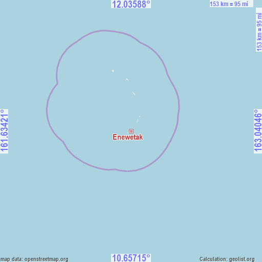
Enewetak GPS coordinates[2]
11° 20' 50.46" North, 162° 20' 14.388" East
| Map corner | latitude | longitude |
|---|---|---|
| Upper-left | 12.03588°, | 161.63421° |
| Center: | 11.34735°, | 162.33733° |
| Lower-right: | 10.65715°, | 163.04046° |
| Map W x H: | 153.3×153.3 km | = 95.3×95.3mi |
| max Lat: | 11.34735° ⇑0% North |
| Enewetak: | 11.34735° |
| min Lat: | ⇓100% South 4.58199° |
| min Long | Enewetak | max Long |
| 162.33733° | 162.33733° | 171.73502° |
| W 0%⇐ | ⇒100% E |
Elevation
Elevation of Enewetak is 8 m = 26 ft, and this is 1.7 m = 6 ft below average elevation for this country.
| Max E: |
16 m = 52 ft | 75% |
| Avg. | 9.7 m = 32 ft | |
| Enewetak | 8 m = 26 ft | |
Min E: |
5 m = 16 ft | 25% |
See also: Marshall Islands elevation on elevation.city.
Geographical zone
Enewetak is located in North Torrid zone (between Equator and Tropic of Cancer). Distance of Equator is 1261.7 km =784 mi to South.| Distance of | km | miles | from Enewetak |
|---|---|---|---|
| North Pole | 8745.4 | 5434.1 | to North |
| Arctic Circle | 6139.5 | 3814.9 | to North |
| Tropic Cancer | 1344.2 | 835.2 | to North |
| Equator | 1261.7 | 784 | to South |


 108°
108°Sources, notices
• [Note1] Compared only with cities in Marshall Islands existing in our database
• [Src1] Map data: © OpenStreetMap contributors (CC-BY-SA)
• [Src2] Other city data from geonames.org with taken over terms of usage.
• [Src3] Geographical zone / Annual Mean Temperature by Robert A. Rohde @ Wikipedia
