Wotho geodata
Wotho (Wotho Atoll) is a seat of a first-order administrative division; located in Marshall Islands in Pacific/Majuro (GMT+12) time zone. With population of 160 people, there are 16 cities with bigger population in this country. Compared to other cities in Marshall Islands, 79.2% of cities are located further ↓South; 91.7% of cities are located further →East and 75% of cities have higher elevation than Wotho. Note1


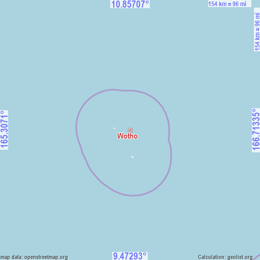
Wotho GPS coordinates[2]
10° 9' 56.7" North, 166° 0' 36.792" East
| Map corner | latitude | longitude |
|---|---|---|
| Upper-left | 10.85707°, | 165.3071° |
| Center: | 10.16575°, | 166.01022° |
| Lower-right: | 9.47293°, | 166.71335° |
| Map W x H: | 153.9×153.9 km | = 95.6×95.6mi |
| max Lat: | 11.34735° ⇑20.8% North |
| Wotho: | 10.16575° |
| min Lat: | ⇓79.2% South 4.58199° |
| min Long | Wotho | max Long |
| 162.33733° | 166.01022° | 171.73502° |
| W 8.3%⇐ | ⇒91.7% E |
Elevation
Elevation of Wotho is 8 m = 26 ft, and this is 1.7 m = 6 ft below average elevation for this country.
| Max E: |
16 m = 52 ft | 75% |
| Avg. | 9.7 m = 32 ft | |
| Wotho | 8 m = 26 ft | |
Min E: |
5 m = 16 ft | 25% |
See also: Marshall Islands elevation on elevation.city.
Geographical zone
Wotho is located in North Torrid zone (between Equator and Tropic of Cancer). Distance of Equator is 1130.3 km =702.3 mi to South.| Distance of | km | miles | from Wotho |
|---|---|---|---|
| North Pole | 8876.7 | 5515.7 | to North |
| Arctic Circle | 6270.8 | 3896.5 | to North |
| Tropic Cancer | 1475.6 | 916.9 | to North |
| Equator | 1130.3 | 702.3 | to South |


Nearby cities:
11 places around Wotho: (largest is in red/bold)
• Ailuk
434.4 km =269.9 mi,  89°
89°
• Ebaye
244.7 km =152 mi,  129°
129°
• Enewetak
422.2 km =262.3 mi,  288°
288°
• Jabat
422.1 km =262.3 mi, 129°
• Lae
141 km =87.6 mi,  168°
168°
• Lib
254.9 km =158.4 mi,  143°
143°
• Likiep
363.4 km =225.8 mi,  95°
95°
• Loen
362 km =224.9 mi, 137°
• Rongelap
147.1 km =91.4 mi,  41°
41°
• Ujae
139.8 km =86.9 mi,  191°
191°
• Utrik
435.5 km =270.6 mi,  74°
74°
Sources, notices
• [Note1] Compared only with cities in Marshall Islands existing in our database
• [Src1] Map data: © OpenStreetMap contributors (CC-BY-SA)
• [Src2] Other city data from geonames.org with taken over terms of usage.
• [Src3] Geographical zone / Annual Mean Temperature by Robert A. Rohde @ Wikipedia
