Kawthoung geodata
Kawthoung (Tanintharyi) is a populated place; located in Myanmar in Asia/Yangon (GMT+6.5) time zone. With population of 57,949 people, there are 38 cities with bigger population in this country. Compared to other cities in Myanmar, 100% of cities are located further ↑North; 97.3% of cities are located further ←West and 51.4% of cities have higher elevation than Kawthoung. Note1


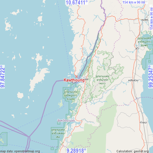
Kawthoung GPS coordinates[2]
9° 58' 56.568" North, 98° 33' 1.224" East
| Map corner | latitude | longitude |
|---|---|---|
| Upper-left | 10.67411°, | 97.84722° |
| Center: | 9.98238°, | 98.55034° |
| Lower-right: | 9.28918°, | 99.25347° |
| Map W x H: | 154×154 km | = 95.7×95.7mi |
| max Lat: | 25.38327° ⇑100% North |
| Kawthoung: | 9.98238° |
| min Lat: | ⇓0% South 9.98238° |
| min Long | Kawthoung | max Long |
| 92.89835° | 98.55034° | 99.88083° |
| W 97.3%⇐ | ⇒2.7% E |
Elevation
Elevation of Kawthoung is 34 m = 112 ft, and this is 154.9 m = 508 ft below average elevation for this country.
| Max E: |
1768 m = 5801 ft | 51.4% |
| Avg. | 188.9 m = 620 ft | |
| Kawthoung | 34 m = 112 ft | |
Min E: |
5 m = 16 ft | 48.6% |
See also: Kawthoung elevation on elevation.city.
Geographical zone
Kawthoung is located in North Torrid zone (between Equator and Tropic of Cancer). Distance of Equator is 1109.9 km =689.7 mi to South.| Distance of | km | miles | from Kawthoung |
|---|---|---|---|
| North Pole | 8897.1 | 5528.4 | to North |
| Arctic Circle | 6291.2 | 3909.2 | to North |
| Tropic Cancer | 1496 | 929.6 | to North |
| Equator | 1109.9 | 689.7 | to South |


 1°
1°Sources, notices
• [Note1] Compared only with cities in Myanmar existing in our database
• [Src1] Map data: © OpenStreetMap contributors (CC-BY-SA)
• [Src2] Other city data from geonames.org with taken over terms of usage.
• [Src3] Geographical zone / Annual Mean Temperature by Robert A. Rohde @ Wikipedia
