San Jose Village geodata
San Jose Village (Tinian) is a seat of a first-order administrative division; located in Northern Mariana Islands in Pacific/Saipan (GMT+10) time zone. With population of 15,000 people, there is 1 city with bigger population in this country. Note1


San Jose Village GPS coordinates[2]
14° 58' 5.628" North, 145° 37' 11.928" East
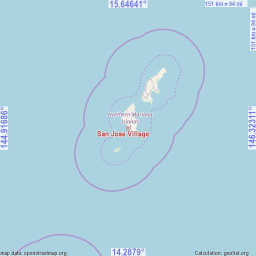
| Map corner | latitude | longitude |
|---|---|---|
| Upper-left | 15.64641°, | 144.91686° |
| Center: | 14.96823°, | 145.61998° |
| Lower-right: | 14.2879°, | 146.32311° |
| Map W x H: | 151.1×151.1 km | = 93.9×93.9mi |
Elevation
Elevation of San Jose Village is 9 m = 30 ft, and this is 101 m = 331 ft below average elevation for this country.
See also: Northern Mariana Islands elevation on elevation.city.
Geographical zone
San Jose Village is located in North Torrid zone (between Equator and Tropic of Cancer). Distance of this Northern Tropic circle is 941.6 km =585.1 mi to North.| Distance of | km | miles | from San Jose Village |
|---|---|---|---|
| North Pole | 8342.8 | 5184 | to North |
| Arctic Circle | 5736.9 | 3564.7 | to North |
| Tropic Cancer | 941.6 | 585.1 | to North |
| Equator | 1664.3 | 1034.1 | to South |


Nearby cities:
1 places around San Jose Village: (largest is in red/bold)
• Saipan
30.7 km =19.1 mi,  28°
28°
Sources, notices
• [Note1] Compared only with cities in Northern Mariana Islands existing in our database
• [Src1] Map data: © OpenStreetMap contributors (CC-BY-SA)
• [Src2] Other city data from geonames.org with taken over terms of usage.
• [Src3] Geographical zone / Annual Mean Temperature by Robert A. Rohde @ Wikipedia
