Saipan geodata
Saipan is a capital of a political entity; located in Northern Mariana Islands in Pacific/Saipan (GMT+10) time zone. With population of 48,220 people, there are 0 cities with bigger population in this country. Note1


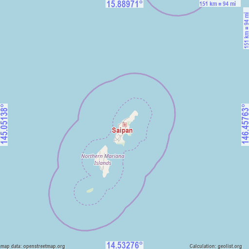
Saipan GPS coordinates[2]
15° 12' 44.388" North, 145° 45' 16.2" East
| Map corner | latitude | longitude |
|---|---|---|
| Upper-left | 15.88971°, | 145.05138° |
| Center: | 15.21233°, | 145.7545° |
| Lower-right: | 14.53276°, | 146.45763° |
| Map W x H: | 150.9×150.9 km | = 93.8×93.8mi |
Elevation
Elevation of Saipan is 211 m = 692 ft, and this is 101 m = 331 ft above average elevation for this country.
See also: Saipan elevation on elevation.city.
Geographical zone
Saipan is located in North Torrid zone (between Equator and Tropic of Cancer). Distance of this Northern Tropic circle is 914.5 km =568.2 mi to North.| Distance of | km | miles | from Saipan |
|---|---|---|---|
| North Pole | 8315.6 | 5167.1 | to North |
| Arctic Circle | 5709.7 | 3547.8 | to North |
| Tropic Cancer | 914.5 | 568.2 | to North |
| Equator | 1691.5 | 1051 | to South |


Nearby cities:
1 places around Saipan: (largest is in red/bold)
• San Jose Village
30.7 km =19.1 mi,  208°
208°
Sources, notices
• [Note1] Compared only with cities in Northern Mariana Islands existing in our database
• [Src1] Map data: © OpenStreetMap contributors (CC-BY-SA)
• [Src2] Other city data from geonames.org with taken over terms of usage.
• [Src3] Geographical zone / Annual Mean Temperature by Robert A. Rohde @ Wikipedia
