Cargados Carajos geodata
Cargados Carajos is a seat of a first-order administrative division; located in Mauritius in Indian/Mauritius (GMT+4) time zone. With population of 63 people, there are 99 cities with bigger population in this country. Compared to other cities in Mauritius, 99% of cities are located further ↓South; 98% of cities are located further ←West and 99% of cities have higher elevation than Cargados Carajos. Note1


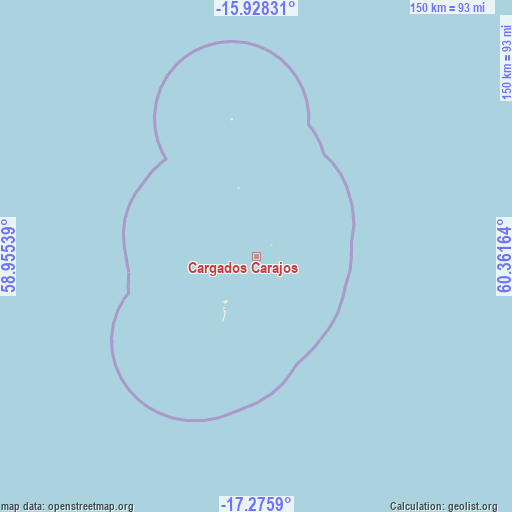
Cargados Carajos GPS coordinates[2]
16° 36' 11.844" South, 59° 39' 30.636" East
| Map corner | latitude | longitude |
|---|---|---|
| Upper-left | -15.92831°, | 58.95539° |
| Center: | -16.60329°, | 59.65851° |
| Lower-right: | -17.2759°, | 60.36164° |
| Map W x H: | 149.8×149.8 km | = 93.1×93.1mi |
| max Lat: | -10.38803° ⇑1% North |
| Cargados Carajos: | -16.60329° |
| min Lat: | ⇓99% South -20.51667° |
| min Long | Cargados Carajo | max Long |
| 56.61795° | 59.65851° | 63.41667° |
| W 98%⇐ | ⇒2% E |
Elevation
Elevation of Cargados Carajos is 2 m = 7 ft, and this is 150.1 m = 492 ft below average elevation for this country.
| Max E: |
467 m = 1532 ft | 99% |
| Avg. | 152.1 m = 499 ft | |
| Cargados Carajos | 2 m = 7 ft | |
Min E: |
1 m = 3 ft | 1% |
See also: Mauritius elevation on elevation.city.
Geographical zone
Cargados Carajos is located in South Torrid zone (between Equator and Tropic of Capricorn). Distance of this Southern Tropic circle is 759.8 km =472.1 mi to South.| Distance of | km | miles | from Cargados Carajos |
|---|---|---|---|
| Equator | 1846.1 | 1147.1 | to North |
| Tropic Capricorn | 759.8 | 472.1 | to South |
| Antarctic Circle | 5555.1 | 3451.8 | to South |
| South Pole | 8160.9 | 5070.9 | to South |


Nearby cities:
7 places around Cargados Carajos: (largest is in red/bold)
• Cap Malheureux
433.4 km =269.3 mi,  209°
209°
• Goodlands
436.8 km =271.4 mi, 209°
• Grand Baie
438.5 km =272.5 mi, 210°
• Grand Gaube
433.2 km =269.2 mi, 209°
• Petit Raffray
436.5 km =271.2 mi, 209°
• Roche Terre
435.2 km =270.4 mi, 209°
• The Vale
438.5 km =272.5 mi, 209°
Sources, notices
• [Note1] Compared only with cities in Mauritius existing in our database
• [Src1] Map data: © OpenStreetMap contributors (CC-BY-SA)
• [Src2] Other city data from geonames.org with taken over terms of usage.
• [Src3] Geographical zone / Annual Mean Temperature by Robert A. Rohde @ Wikipedia
