Paso Carretas geodata
Paso Carretas (Puebla) is a populated place; located in Mexico in America/Mexico_City (GMT-6) time zone. With population of 1,074 people, there are 8122 cities with bigger population in this country. Compared to other cities in Mexico, 66.5% of cities are located further ↑North; 72% of cities are located further ←West and 97.9% of cities have lower elevation than Paso Carretas. Note1


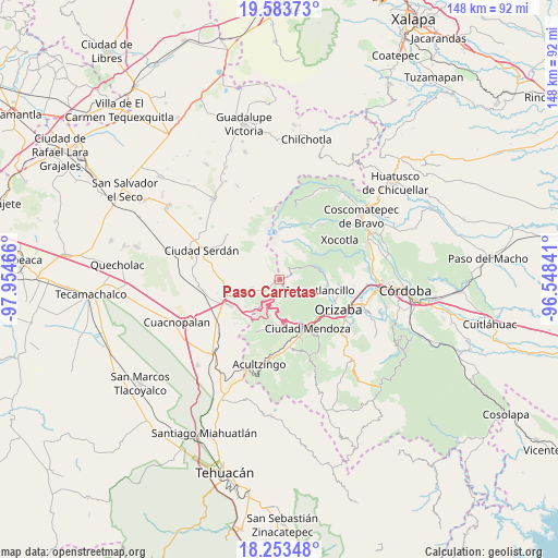
Paso Carretas GPS coordinates[2]
18° 55' 11.748" North, 97° 15' 5.508" West
| Map corner | latitude | longitude |
|---|---|---|
| Upper-left | 19.58373°, | -97.95466° |
| Center: | 18.91993°, | -97.25153° |
| Lower-right: | 18.25348°, | -96.54841° |
| Map W x H: | 147.9×147.9 km | = 91.9×91.9mi |
| max Lat: | 32.7° ⇑66.5% North |
| Paso Carretas: | 18.91993° |
| min Lat: | ⇓33.5% South 14.53588° |
| min Long | Paso Carretas | max Long |
| -117.105° | -97.25153° | -86.73105° |
| W 72%⇐ | ⇒28% E |
Elevation
Elevation of Paso Carretas is 2738 m = 8983 ft, and this is 1484.3 m = 4870 ft above average elevation for this country.
| Max E: |
3497 m = 11473 ft | 2.1% |
| Paso Carretas | 2738 m 8983 ft | |
| Avg. | 1253.7 m = 4113 ft | |
Min E: |
-1 m = -3 ft | 97.9% |
See also: Mexico elevation on elevation.city.
Geographical zone
Paso Carretas is located in North Torrid zone (between Equator and Tropic of Cancer). Distance of this Northern Tropic circle is 502.2 km =312.1 mi to North.| Distance of | km | miles | from Paso Carretas |
|---|---|---|---|
| North Pole | 7903.4 | 4910.9 | to North |
| Arctic Circle | 5297.5 | 3291.7 | to North |
| Tropic Cancer | 502.2 | 312.1 | to North |
| Equator | 2103.7 | 1307.2 | to South |


Nearby cities:
15 places around Paso Carretas: (largest is in red/bold)
• Agua Escondida
8.1 km =5 mi,  39°
39°
• Atzitzintla
8 km =5 mi,  253°
253°
• El Paso
9.2 km =5.7 mi, 44°
• Frijolillo
5.9 km =3.7 mi,  58°
58°
• La Rosa
3.7 km =2.3 mi,  115°
115°
• Loma Grande
2.2 km =1.4 mi,  82°
82°
• Papalotla
8.8 km =5.5 mi,  50°
50°
• San Isidro el Berro
4.9 km =3 mi, 80°
• San José Súchil
3.9 km =2.4 mi,  157°
157°
• San Juan Huiloapan
4.1 km =2.5 mi,  227°
227°
• Santa Cruz Texmalaquilla
4.6 km =2.9 mi,  304°
304°
• Texmalaca
8.3 km =5.2 mi, 63°
• Texmola
2.3 km =1.4 mi,  20°
20°
• Xiquila
7.1 km =4.4 mi, 57°
• Xometla
9.1 km =5.7 mi, 48°
Sources, notices
• [Note1] Compared only with cities in Mexico existing in our database
• [Src1] Map data: © OpenStreetMap contributors (CC-BY-SA)
• [Src2] Other city data from geonames.org with taken over terms of usage.
• [Src3] Geographical zone / Annual Mean Temperature by Robert A. Rohde @ Wikipedia
