General Escobedo geodata
General Escobedo (Durango) is a populated place; located in Mexico in America/Monterrey (GMT-6) time zone. With population of 779 people, there are 11211 cities with bigger population in this country. Compared to other cities in Mexico, 92.8% of cities are located further ↓South; 92.5% of cities are located further →East and 54.3% of cities have lower elevation than General Escobedo. Note1


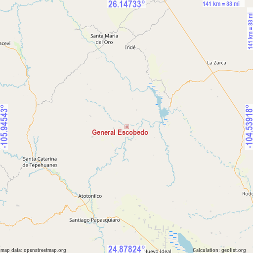
General Escobedo GPS coordinates[2]
25° 30' 52.056" North, 105° 14' 32.28" West
| Map corner | latitude | longitude |
|---|---|---|
| Upper-left | 26.14733°, | -105.94543° |
| Center: | 25.51446°, | -105.2423° |
| Lower-right: | 24.87824°, | -104.53918° |
| Map W x H: | 141.1×141.1 km | = 87.7×87.7mi |
| max Lat: | 32.7° ⇑7.2% North |
| General Escobedo: | 25.51446° |
| min Lat: | ⇓92.8% South 14.53588° |
| min Long | General Escobed | max Long |
| -117.105° | -105.2423° | -86.73105° |
| W 7.5%⇐ | ⇒92.5% E |
Elevation
Elevation of General Escobedo is 1568 m = 5144 ft, and this is 314.3 m = 1031 ft above average elevation for this country.
| Max E: |
3497 m = 11473 ft | 45.7% |
| General Escobedo | 1568 m 5144 ft | |
| Avg. | 1253.7 m = 4113 ft | |
Min E: |
-1 m = -3 ft | 54.3% |
See also: Mexico elevation on elevation.city.
Geographical zone
General Escobedo is located in North temperate zone (between Tropic of Cancer and the Arctic Circle). Distance of this Northern Tropic circle is 231 km =143.5 mi to South.| Distance of | km | miles | from General Escobedo |
|---|---|---|---|
| North Pole | 7170.1 | 4455.3 | to North |
| Arctic Circle | 4564.2 | 2836.1 | to North |
| Tropic Cancer | 231 | 143.5 | to South |
| Equator | 2836.9 | 1762.8 | to South |


Nearby cities:
15 places around General Escobedo: (largest is in red/bold)
• Abasolo
63.1 km =39.2 mi,  110°
110°
• Coneto de Comonfort
76 km =47.2 mi,  141°
141°
• Doctor Castillo del Valle
64.1 km =39.8 mi,  151°
151°
• Indé
44.3 km =27.5 mi,  2°
2°
• José María Morelos
55.9 km =34.7 mi,  176°
176°
• La Zarca
61.4 km =38.2 mi,  54°
54°
• Los Herrera
47.1 km =29.3 mi,  213°
213°
• Miguel Negrete
61.2 km =38 mi, 154°
• Nuevo Ideal
71.9 km =44.7 mi,  166°
166°
• San Bernardo
61 km =37.9 mi,  332°
332°
• Santa Bárbara
74 km =46 mi, 114°
• Santa Catarina de Tepehuanes
52.2 km =32.4 mi,  248°
248°
• Santa María del Oro
49.9 km =31 mi,  345°
345°
• Santiago Papasquiaro
55.3 km =34.4 mi,  198°
198°
• Villa Hermosa
75 km =46.6 mi, 170°
Sources, notices
• [Note1] Compared only with cities in Mexico existing in our database
• [Src1] Map data: © OpenStreetMap contributors (CC-BY-SA)
• [Src2] Other city data from geonames.org with taken over terms of usage.
• [Src3] Geographical zone / Annual Mean Temperature by Robert A. Rohde @ Wikipedia
