San Miguel Eménguaro geodata
San Miguel Eménguaro (Guanajuato) is a populated place; located in Mexico in America/Mexico_City (GMT-6) time zone. With population of 1,682 people, there are 5165 cities with bigger population in this country. Compared to other cities in Mexico, 60.6% of cities are located further ↓South; 72.5% of cities are located further →East and 64.3% of cities have lower elevation than San Miguel Eménguaro. Note1


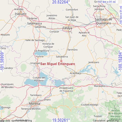
San Miguel Eménguaro GPS coordinates[2]
20° 9' 50.472" North, 100° 53' 9.456" West
| Map corner | latitude | longitude |
|---|---|---|
| Upper-left | 20.82264°, | -101.58909° |
| Center: | 20.16402°, | -100.88596° |
| Lower-right: | 19.50261°, | -100.18284° |
| Map W x H: | 146.8×146.8 km | = 91.2×91.2mi |
| max Lat: | 32.7° ⇑39.4% North |
| San Miguel Eménguaro: | 20.16402° |
| min Lat: | ⇓60.6% South 14.53588° |
| min Long | San Miguel Emé | max Long |
| -117.105° | -100.88596° | -86.73105° |
| W 27.5%⇐ | ⇒72.5% E |
Elevation
Elevation of San Miguel Eménguaro is 1808 m = 5932 ft, and this is 554.3 m = 1819 ft above average elevation for this country.
| Max E: |
3497 m = 11473 ft | 35.7% |
| San Miguel Eménguaro | 1808 m 5932 ft | |
| Avg. | 1253.7 m = 4113 ft | |
Min E: |
-1 m = -3 ft | 64.3% |
See also: Mexico elevation on elevation.city.
Geographical zone
San Miguel Eménguaro is located in North Torrid zone (between Equator and Tropic of Cancer). Distance of this Northern Tropic circle is 363.9 km =226.1 mi to North.| Distance of | km | miles | from San Miguel Eménguaro |
|---|---|---|---|
| North Pole | 7765 | 4824.9 | to North |
| Arctic Circle | 5159.1 | 3205.7 | to North |
| Tropic Cancer | 363.9 | 226.1 | to North |
| Equator | 2242 | 1393.1 | to South |


Nearby cities:
15 places around San Miguel Eménguaro: (largest is in red/bold)
• Chamácuaro
9 km =5.6 mi,  137°
137°
• Estancia del Carmen de Maravatío
7.1 km =4.4 mi,  210°
210°
• La Palma de Eménguaro
2.6 km =1.6 mi,  203°
203°
• La Virgen
3.1 km =1.9 mi,  218°
218°
• Maravatío del Encinal
9.2 km =5.7 mi,  299°
299°
• Obrajuelo
7.3 km =4.5 mi,  148°
148°
• Ojo de Agua de Ballesteros
9.6 km =6 mi,  42°
42°
• Salvatierra
5.5 km =3.4 mi,  6°
6°
• San Antonio Eménguaro
2.8 km =1.7 mi,  164°
164°
• San Pedro de los Naranjos
8.9 km =5.5 mi,  322°
322°
• Santa Rita de Casia
11.2 km =7 mi,  289°
289°
• Santa Teresa (La Majada)
8.1 km =5 mi, 286°
• Santiago Maravatío
11.4 km =7.1 mi,  275°
275°
• Santo Tomás Huatzindeo
7.4 km =4.6 mi,  330°
330°
• Urireo
7.1 km =4.4 mi, 40°
Sources, notices
• [Note1] Compared only with cities in Mexico existing in our database
• [Src1] Map data: © OpenStreetMap contributors (CC-BY-SA)
• [Src2] Other city data from geonames.org with taken over terms of usage.
• [Src3] Geographical zone / Annual Mean Temperature by Robert A. Rohde @ Wikipedia
