Paso de Arena geodata
Paso de Arena (Guerrero) is a populated place; located in Mexico in America/Mexico_City (GMT-6) time zone. With population of 2,260 people, there are 3892 cities with bigger population in this country. Compared to other cities in Mexico, 74.9% of cities are located further ↑North; 72.2% of cities are located further →East and 71.5% of cities have higher elevation than Paso de Arena. Note1


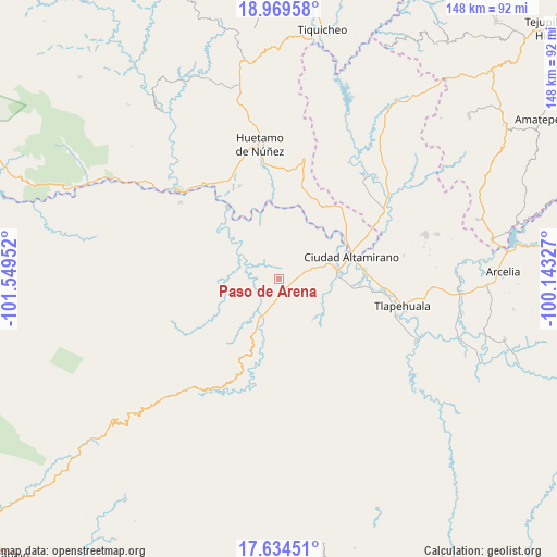
Paso de Arena GPS coordinates[2]
18° 18' 11.988" North, 100° 50' 47.004" West
| Map corner | latitude | longitude |
|---|---|---|
| Upper-left | 18.96958°, | -101.54952° |
| Center: | 18.30333°, | -100.84639° |
| Lower-right: | 17.63451°, | -100.14327° |
| Map W x H: | 148.4×148.4 km | = 92.2×92.2mi |
| max Lat: | 32.7° ⇑74.9% North |
| Paso de Arena: | 18.30333° |
| min Lat: | ⇓25.1% South 14.53588° |
| min Long | Paso de Arena | max Long |
| -117.105° | -100.84639° | -86.73105° |
| W 27.8%⇐ | ⇒72.2% E |
Elevation
Elevation of Paso de Arena is 348 m = 1142 ft, and this is 905.7 m = 2971 ft below average elevation for this country.
| Max E: |
3497 m = 11473 ft | 71.5% |
| Avg. | 1253.7 m = 4113 ft | |
| Paso de Arena | 348 m = 1142 ft | |
Min E: |
-1 m = -3 ft | 28.5% |
See also: Mexico elevation on elevation.city.
Geographical zone
Paso de Arena is located in North Torrid zone (between Equator and Tropic of Cancer). Distance of this Northern Tropic circle is 570.8 km =354.7 mi to North.| Distance of | km | miles | from Paso de Arena |
|---|---|---|---|
| North Pole | 7971.9 | 4953.5 | to North |
| Arctic Circle | 5366 | 3334.3 | to North |
| Tropic Cancer | 570.8 | 354.7 | to North |
| Equator | 2035.1 | 1264.6 | to South |


Nearby cities:
15 places around Paso de Arena: (largest is in red/bold)
• Arroyo Grande
5.3 km =3.3 mi,  312°
312°
• Coyuca de Catalán
15.8 km =9.8 mi,  80°
80°
• El Coco
14.4 km =8.9 mi,  96°
96°
• El Naranjo
7.3 km =4.5 mi,  325°
325°
• Jaripo
10.9 km =6.8 mi,  72°
72°
• Las Cruces
9.9 km =6.2 mi,  129°
129°
• Las Tinajas
15.8 km =9.8 mi, 67°
• Patambó
9.3 km =5.8 mi,  198°
198°
• Pineda
1.8 km =1.1 mi,  213°
213°
• Placeres del Oro
9.5 km =5.9 mi,  218°
218°
• Río Florido (Las Ánimas)
17.7 km =11 mi,  59°
59°
• San Juan Chámacua
17.9 km =11.1 mi, 102°
• Santa Teresa
5 km =3.1 mi,  32°
32°
• Santo Domingo
16.6 km =10.3 mi,  48°
48°
• Tierra Blanca
16.9 km =10.5 mi, 79°
Sources, notices
• [Note1] Compared only with cities in Mexico existing in our database
• [Src1] Map data: © OpenStreetMap contributors (CC-BY-SA)
• [Src2] Other city data from geonames.org with taken over terms of usage.
• [Src3] Geographical zone / Annual Mean Temperature by Robert A. Rohde @ Wikipedia
