Las Lomas geodata
Las Lomas (Guerrero) is a populated place; located in Mexico in America/Mexico_City (GMT-6) time zone. With population of 1,303 people, there are 6657 cities with bigger population in this country. Compared to other cities in Mexico, 89.1% of cities are located further ↑North; 65.1% of cities are located further →East and 94.6% of cities have higher elevation than Las Lomas. Note1


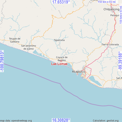
Las Lomas GPS coordinates[2]
16° 58' 54.984" North, 100° 5' 42" West
| Map corner | latitude | longitude |
|---|---|---|
| Upper-left | 17.65319°, | -100.79813° |
| Center: | 16.98194°, | -100.095° |
| Lower-right: | 16.30828°, | -99.39188° |
| Map W x H: | 149.5×149.5 km | = 92.9×92.9mi |
| max Lat: | 32.7° ⇑89.1% North |
| Las Lomas: | 16.98194° |
| min Lat: | ⇓10.9% South 14.53588° |
| min Long | Las Lomas | max Long |
| -117.105° | -100.095° | -86.73105° |
| W 34.9%⇐ | ⇒65.1% E |
Elevation
Elevation of Las Lomas is 14 m = 46 ft, and this is 1239.7 m = 4067 ft below average elevation for this country.
| Max E: |
3497 m = 11473 ft | 94.6% |
| Avg. | 1253.7 m = 4113 ft | |
| Las Lomas | 14 m = 46 ft | |
Min E: |
-1 m = -3 ft | 5.4% |
See also: Mexico elevation on elevation.city.
Geographical zone
Las Lomas is located in North Torrid zone (between Equator and Tropic of Cancer). Distance of this Northern Tropic circle is 717.7 km =446 mi to North.| Distance of | km | miles | from Las Lomas |
|---|---|---|---|
| North Pole | 8118.8 | 5044.8 | to North |
| Arctic Circle | 5513 | 3425.6 | to North |
| Tropic Cancer | 717.7 | 446 | to North |
| Equator | 1888.2 | 1173.3 | to South |


Nearby cities:
15 places around Las Lomas: (largest is in red/bold)
• Aguas Blancas
7 km =4.3 mi,  29°
29°
• Carrera Larga
6.8 km =4.2 mi,  356°
356°
• Colonia Luces en el Mar
10.8 km =6.7 mi,  128°
128°
• Colonia Lázaro Cárdenas
1.7 km =1.1 mi,  18°
18°
• Coyuca de Benítez
3.1 km =1.9 mi, 15°
• El Bejuco
1.2 km =0.7 mi,  226°
226°
• El Bordonal
8.2 km =5.1 mi,  97°
97°
• El Embarcadero
10.1 km =6.3 mi, 101°
• El Espinalillo
3.4 km =2.1 mi,  275°
275°
• La Barra
4 km =2.5 mi,  199°
199°
• Los Mogotes
4.9 km =3 mi,  156°
156°
• Playa del Carrizal
5.5 km =3.4 mi,  247°
247°
• Pénjamo
4.2 km =2.6 mi,  330°
330°
• San Nicolás
3.5 km =2.2 mi,  260°
260°
• Yetla
9.8 km =6.1 mi,  82°
82°
Sources, notices
• [Note1] Compared only with cities in Mexico existing in our database
• [Src1] Map data: © OpenStreetMap contributors (CC-BY-SA)
• [Src2] Other city data from geonames.org with taken over terms of usage.
• [Src3] Geographical zone / Annual Mean Temperature by Robert A. Rohde @ Wikipedia
