Campo Sotelo geodata
Campo Sotelo (Morelos) is a populated place; located in Mexico in America/Mexico_City (GMT-6) time zone. With population of 820 people, there are 10646 cities with bigger population in this country. Compared to other cities in Mexico, 68.2% of cities are located further ↑North; 53% of cities are located further →East and 54.1% of cities have higher elevation than Campo Sotelo. Note1


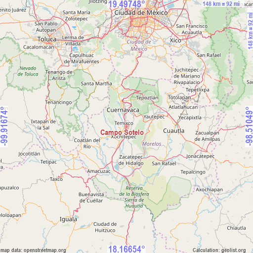
Campo Sotelo GPS coordinates[2]
18° 49' 59.988" North, 99° 12' 48.996" West
| Map corner | latitude | longitude |
|---|---|---|
| Upper-left | 19.49748°, | -99.91674° |
| Center: | 18.83333°, | -99.21361° |
| Lower-right: | 18.16654°, | -98.51049° |
| Map W x H: | 148×148 km | = 92×92mi |
| max Lat: | 32.7° ⇑68.2% North |
| Campo Sotelo: | 18.83333° |
| min Lat: | ⇓31.8% South 14.53588° |
| min Long | Campo Sotelo | max Long |
| -117.105° | -99.21361° | -86.73105° |
| W 47%⇐ | ⇒53% E |
Elevation
Elevation of Campo Sotelo is 1238 m = 4062 ft, and this is 15.7 m = 52 ft below average elevation for this country.
| Max E: |
3497 m = 11473 ft | 54.1% |
| Avg. | 1253.7 m = 4113 ft | |
| Campo Sotelo | 1238 m = 4062 ft | |
Min E: |
-1 m = -3 ft | 45.9% |
See also: Mexico elevation on elevation.city.
Geographical zone
Campo Sotelo is located in North Torrid zone (between Equator and Tropic of Cancer). Distance of this Northern Tropic circle is 511.8 km =318 mi to North.| Distance of | km | miles | from Campo Sotelo |
|---|---|---|---|
| North Pole | 7913 | 4916.9 | to North |
| Arctic Circle | 5307.1 | 3297.7 | to North |
| Tropic Cancer | 511.8 | 318 | to North |
| Equator | 2094.1 | 1301.2 | to South |


Nearby cities:
15 places around Campo Sotelo: (largest is in red/bold)
• Benito Juárez (La Monera)
6.2 km =3.9 mi,  248°
248°
• Calera Chica
4.3 km =2.7 mi,  50°
50°
• Chiconcuac
5.7 km =3.5 mi,  173°
173°
• Cliserio Alanís (San Gaspar)
6.4 km =4 mi,  61°
61°
• Emiliano Zapata
3.2 km =2 mi,  75°
75°
• Eterna Primavera
4.8 km =3 mi,  284°
284°
• Francisco Villa
6.1 km =3.8 mi,  212°
212°
• Jiutepec
6.5 km =4 mi,  35°
35°
• La Esperanza
3.3 km =2.1 mi, 214°
• Solidaridad
5.9 km =3.7 mi,  291°
291°
• Temixco
2.5 km =1.6 mi,  329°
329°
• Tezoyuca
3.4 km =2.1 mi,  159°
159°
• Tres de Mayo
4 km =2.5 mi,  8°
8°
• Unidad Habitacional José María Morelos y Pavón
5.3 km =3.3 mi, 254°
• Xochitepec
6.1 km =3.8 mi,  196°
196°
Sources, notices
• [Note1] Compared only with cities in Mexico existing in our database
• [Src1] Map data: © OpenStreetMap contributors (CC-BY-SA)
• [Src2] Other city data from geonames.org with taken over terms of usage.
• [Src3] Geographical zone / Annual Mean Temperature by Robert A. Rohde @ Wikipedia
