Perai geodata
Perai (Penang) is a populated place; located in Malaysia in Asia/Kuala_Lumpur (GMT+8) time zone. With population of 65,301 people, there are 50 cities with bigger population in this country. Compared to other cities in Malaysia, 71.9% of cities are located further ↓South; 88.2% of cities are located further →East and 94.4% of cities have higher elevation than Perai. Note1


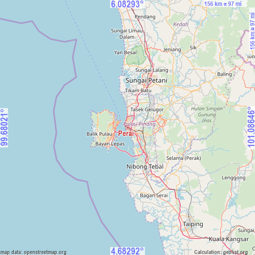
Perai GPS coordinates[2]
5° 22' 59.988" North, 100° 22' 59.988" East
| Map corner | latitude | longitude |
|---|---|---|
| Upper-left | 6.08293°, | 99.68021° |
| Center: | 5.38333°, | 100.38333° |
| Lower-right: | 4.68292°, | 101.08646° |
| Map W x H: | 155.7×155.7 km | = 96.7×96.7mi |
| max Lat: | 6.88732° ⇑28.1% North |
| Perai: | 5.38333° |
| min Lat: | ⇓71.9% South 1.24722° |
| min Long | Perai | max Long |
| 99.68252° | 100.38333° | 118.61119° |
| W 11.8%⇐ | ⇒88.2% E |
Elevation
Elevation of Perai is 5 m = 16 ft, and this is 39.7 m = 130 ft below average elevation for this country.
| Max E: |
1488 m = 4882 ft | 94.4% |
| Avg. | 44.7 m = 147 ft | |
| Perai | 5 m = 16 ft | |
Min E: |
0 m = 0 ft | 5.6% |
See also: Perai elevation on elevation.city.
Geographical zone
Perai is located in North Torrid zone (between Equator and Tropic of Cancer). Distance of Equator is 598.6 km =372 mi to South.| Distance of | km | miles | from Perai |
|---|---|---|---|
| North Pole | 9408.5 | 5846.2 | to North |
| Arctic Circle | 6802.6 | 4226.9 | to North |
| Tropic Cancer | 2007.3 | 1247.3 | to North |
| Equator | 598.6 | 372 | to South |


Nearby cities:
15 places around Perai: (largest is in red/bold)
• Batu Feringgi
18.1 km =11.2 mi,  302°
302°
• Bukit Mertajam
9.5 km =5.9 mi,  103°
103°
• Butterworth
2.8 km =1.7 mi,  309°
309°
• George Town
6.1 km =3.8 mi, 300°
• Juru
10.3 km =6.4 mi,  140°
140°
• Kampung Batu Feringgi
18.1 km =11.2 mi, 301°
• Kampung Sungai Ara
13.7 km =8.5 mi,  242°
242°
• Kepala Batas
15.6 km =9.7 mi,  17°
17°
• Kulim
19.9 km =12.4 mi, 95°
• Nibong Tebal
26.4 km =16.4 mi,  156°
156°
• Parit Buntar
31 km =19.3 mi, 156°
• Permatang Kuching
8.9 km =5.5 mi,  358°
358°
• Tanjung Tokong
12 km =7.5 mi,  315°
315°
• Tasek Glugor
16.7 km =10.4 mi,  49°
49°
• Telaga Batu
19 km =11.8 mi, 299°
Sources, notices
• [Note1] Compared only with cities in Malaysia existing in our database
• [Src1] Map data: © OpenStreetMap contributors (CC-BY-SA)
• [Src2] Other city data from geonames.org with taken over terms of usage.
• [Src3] Geographical zone / Annual Mean Temperature by Robert A. Rohde @ Wikipedia
