Katima Mulilo geodata
Katima Mulilo (Zambezi) is a seat of a first-order administrative division; located in Namibia in Africa/Windhoek (GMT+2) time zone. With population of 25,027 people, there are 5 cities with bigger population in this country. Compared to other cities in Namibia, 93.2% of cities are located further ↓South; 100% of cities are located further ←West and 77.3% of cities have higher elevation than Katima Mulilo. Note1


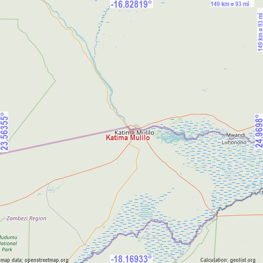
Katima Mulilo GPS coordinates[2]
17° 30' 0" South, 24° 16' 0.012" East
| Map corner | latitude | longitude |
|---|---|---|
| Upper-left | -16.82819°, | 23.56355° |
| Center: | -17.5°, | 24.26667° |
| Lower-right: | -18.16933°, | 24.9698° |
| Map W x H: | 149.1×149.1 km | = 92.6×92.6mi |
| max Lat: | -17.4° ⇑6.8% North |
| Katima Mulilo: | -17.5° |
| min Lat: | ⇓93.2% South -28.55° |
| min Long | Katima Mulilo | max Long |
| 13.83998° | 24.26667° | 24.26667° |
| W 100%⇐ | ⇒0% E |
Elevation
Elevation of Katima Mulilo is 946 m = 3104 ft, and this is 81.8 m = 268 ft below average elevation for this country.
| Max E: |
1656 m = 5433 ft | 77.3% |
| Avg. | 1027.8 m = 3372 ft | |
| Katima Mulilo | 946 m = 3104 ft | |
Min E: |
1 m = 3 ft | 22.7% |
See also: Namibia elevation on elevation.city.
Geographical zone
Katima Mulilo is located in South Torrid zone (between Equator and Tropic of Capricorn). Distance of this Southern Tropic circle is 660.1 km =410.2 mi to South.| Distance of | km | miles | from Katima Mulilo |
|---|---|---|---|
| Equator | 1945.8 | 1209.1 | to North |
| Tropic Capricorn | 660.1 | 410.2 | to South |
| Antarctic Circle | 5455.4 | 3389.8 | to South |
| South Pole | 8061.2 | 5009 | to South |


Nearby cities:
1 places around Katima Mulilo: (largest is in red/bold)
• Bagani
288.7 km =179.4 mi,  256°
256°
Sources, notices
• [Note1] Compared only with cities in Namibia existing in our database
• [Src1] Map data: © OpenStreetMap contributors (CC-BY-SA)
• [Src2] Other city data from geonames.org with taken over terms of usage.
• [Src3] Geographical zone / Annual Mean Temperature by Robert A. Rohde @ Wikipedia
