Bakenberg geodata
Bakenberg (Gelderland) is a section of populated place; located in Netherlands in Europe/Amsterdam (GMT+2) time zone. With population of 1,025 people, there are 1382 cities with bigger population in this country. Compared to other cities in Netherlands, 50.6% of cities are located further ↑North; 62.3% of cities are located further ←West and 95.2% of cities have lower elevation than Bakenberg. Note1


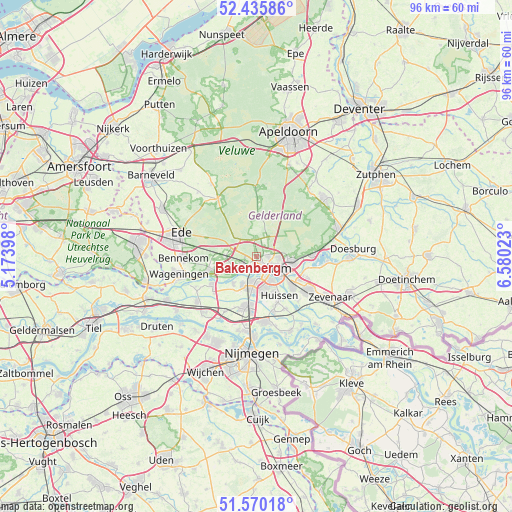
Bakenberg GPS coordinates[2]
52° 0' 18.396" North, 5° 52' 37.56" East
| Map corner | latitude | longitude |
|---|---|---|
| Upper-left | 52.43586°, | 5.17398° |
| Center: | 52.00511°, | 5.8771° |
| Lower-right: | 51.57018°, | 6.58023° |
| Map W x H: | 96.3×96.3 km | = 59.8×59.8mi |
| max Lat: | 53.48025° ⇑50.6% North |
| Bakenberg: | 52.00511° |
| min Lat: | ⇓49.4% South 50.76917° |
| min Long | Bakenberg | max Long |
| 3.38611° | 5.8771° | 7.16528° |
| W 62.3%⇐ | ⇒37.7% E |
Elevation
Elevation of Bakenberg is 64 m = 210 ft, and this is 49 m = 161 ft above average elevation for this country.
| Max E: |
203 m = 666 ft | 4.8% |
| Bakenberg | 64 m 210 ft | |
| Avg. | 15 m = 49 ft | |
Min E: |
-6 m = -20 ft | 95.2% |
See also: Netherlands elevation on elevation.city.
Geographical zone
Bakenberg is located in North temperate zone (between Tropic of Cancer and the Arctic Circle). Distance of this North polar circle is 1618.7 km =1005.8 mi to North.| Distance of | km | miles | from Bakenberg |
|---|---|---|---|
| North Pole | 4224.6 | 2625 | to North |
| Arctic Circle | 1618.7 | 1005.8 | to North |
| Tropic Cancer | 3176.5 | 1973.8 | to South |
| Equator | 5782.4 | 3593 | to South |


Nearby cities:
15 places around Bakenberg: (largest is in red/bold)
• Arnhem
3.6 km =2.2 mi,  140°
140°
• Burgemeesterswijk
2.2 km =1.4 mi, 143°
• Doorwerth
6.2 km =3.9 mi,  242°
242°
• Elden
5.2 km =3.2 mi,  176°
176°
• Geitenkamp
4.2 km =2.6 mi,  91°
91°
• Gulden Bodem
1.5 km =0.9 mi, 142°
• Heveadorp
5.5 km =3.4 mi,  232°
232°
• Hoogkamp
1 km =0.6 mi,  167°
167°
• Malburgen West
4.3 km =2.7 mi,  161°
161°
• Oosterbeek
3 km =1.9 mi,  224°
224°
• Rozendaal
5.8 km =3.6 mi, 89°
• Sterrenberg
1.4 km =0.9 mi, 160°
• Velp
6.7 km =4.2 mi,  99°
99°
• Vredenburg
6 km =3.7 mi, 162°
• Wolfheze
5.9 km =3.7 mi,  268°
268°
Sources, notices
• [Note1] Compared only with cities in Netherlands existing in our database
• [Src1] Map data: © OpenStreetMap contributors (CC-BY-SA)
• [Src2] Other city data from geonames.org with taken over terms of usage.
• [Src3] Geographical zone / Annual Mean Temperature by Robert A. Rohde @ Wikipedia
