Şalālah geodata
Şalālah (Dhofar) is a seat of a first-order administrative division; located in Oman in Asia/Muscat (GMT+4) time zone. With population of 163,140 people, there are 2 cities with bigger population in this country. Compared to other cities in Oman, 100% of cities are located further ↑North; 96.8% of cities are located further →East and 71% of cities have higher elevation than Şalālah. Note1


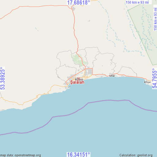
Şalālah GPS coordinates[2]
17° 0' 54.18" North, 54° 5' 32.532" East
| Map corner | latitude | longitude |
|---|---|---|
| Upper-left | 17.68618°, | 53.38925° |
| Center: | 17.01505°, | 54.09237° |
| Lower-right: | 16.34151°, | 54.7955° |
| Map W x H: | 149.5×149.5 km | = 92.9×92.9mi |
| max Lat: | 26.19778° ⇑100% North |
| Şalālah: | 17.01505° |
| min Lat: | ⇓0% South 17.01505° |
| min Long | Şalālah | max Long |
| 52.66042° | 54.09237° | 59.52889° |
| W 3.2%⇐ | ⇒96.8% E |
Elevation
Elevation of Şalālah is 13 m = 43 ft, and this is 193.7 m = 635 ft below average elevation for this country.
| Max E: |
684 m = 2244 ft | 71% |
| Avg. | 206.7 m = 678 ft | |
| Şalālah | 13 m = 43 ft | |
Min E: |
1 m = 3 ft | 29% |
See also: Şalālah elevation on elevation.city.
Geographical zone
Şalālah is located in North Torrid zone (between Equator and Tropic of Cancer). Distance of this Northern Tropic circle is 714 km =443.7 mi to North.| Distance of | km | miles | from Şalālah |
|---|---|---|---|
| North Pole | 8115.2 | 5042.5 | to North |
| Arctic Circle | 5509.3 | 3423.3 | to North |
| Tropic Cancer | 714 | 443.7 | to North |
| Equator | 1891.9 | 1175.6 | to South |


Nearby cities:
2 places around Şalālah: (largest is in red/bold)
• Al Mazyūnah
177.4 km =110.2 mi,  301°
301°
• Haymā’
400.2 km =248.7 mi,  35°
35°
Sources, notices
• [Note1] Compared only with cities in Oman existing in our database
• [Src1] Map data: © OpenStreetMap contributors (CC-BY-SA)
• [Src2] Other city data from geonames.org with taken over terms of usage.
• [Src3] Geographical zone / Annual Mean Temperature by Robert A. Rohde @ Wikipedia
