Labasan geodata
Labasan (Mimaropa) is a populated place; located in Philippines in Asia/Manila (GMT+8) time zone. With population of 4,217 people, there are 1619 cities with bigger population in this country. Compared to other cities in Philippines, 56.3% of cities are located further ↓South; 67% of cities are located further →East and 85.4% of cities have higher elevation than Labasan. Note1
Administrative division(s):
- Level 1: Mimaropa
- Level 2: Province of Mindoro Oriental
- Level 3: Bongabong


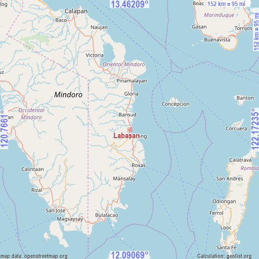
Labasan GPS coordinates[2]
12° 46' 38.352" North, 121° 28' 9.192" East
| Map corner | latitude | longitude |
|---|---|---|
| Upper-left | 13.46209°, | 120.7661° |
| Center: | 12.77732°, | 121.46922° |
| Lower-right: | 12.09069°, | 122.17235° |
| Map W x H: | 152.5×152.5 km | = 94.8×94.8mi |
| max Lat: | 20.78733° ⇑43.7% North |
| Labasan: | 12.77732° |
| min Lat: | ⇓56.3% South 4.65442° |
| min Long | Labasan | max Long |
| 117.04868° | 121.46922° | 126.58417° |
| W 33%⇐ | ⇒67% E |
Elevation
Elevation of Labasan is 8 m = 26 ft, and this is 79.9 m = 262 ft below average elevation for this country.
| Max E: |
2262 m = 7421 ft | 85.4% |
| Avg. | 87.9 m = 288 ft | |
| Labasan | 8 m = 26 ft | |
Min E: |
-2 m = -7 ft | 14.6% |
See also: Philippines elevation on elevation.city.
Geographical zone
Labasan is located in North Torrid zone (between Equator and Tropic of Cancer). Distance of this Northern Tropic circle is 1185.2 km =736.4 mi to North.| Distance of | km | miles | from Labasan |
|---|---|---|---|
| North Pole | 8586.4 | 5335.3 | to North |
| Arctic Circle | 5980.5 | 3716.1 | to North |
| Tropic Cancer | 1185.2 | 736.4 | to North |
| Equator | 1420.7 | 882.8 | to South |


Nearby cities:
15 places around Labasan: (largest is in red/bold)
• Anilao
8.5 km =5.3 mi,  146°
146°
• Bansud
9.8 km =6.1 mi,  351°
351°
• Calamundingan
17.1 km =10.6 mi,  0°
0°
• Cantel
18.4 km =11.4 mi,  164°
164°
• Cawayan
15.9 km =9.9 mi, 148°
• Malitbog
2.8 km =1.7 mi,  187°
187°
• Masaguisi
3.4 km =2.1 mi,  221°
221°
• Odiong
20.8 km =12.9 mi,  169°
169°
• Sagana
6.4 km =4 mi, 162°
• Salcedo
3.7 km =2.3 mi,  356°
356°
• San Aquilino
20.1 km =12.5 mi, 174°
• San Mariano
15.5 km =9.6 mi, 192°
• Sumagui
2.1 km =1.3 mi,  14°
14°
• Tambong
20.8 km =12.9 mi, 4°
• Tiguisan
7 km =4.3 mi, 352°
Sources, notices
• [Note1] Compared only with cities in Philippines existing in our database
• [Src1] Map data: © OpenStreetMap contributors (CC-BY-SA)
• [Src2] Other city data from geonames.org with taken over terms of usage.
• [Src3] Geographical zone / Annual Mean Temperature by Robert A. Rohde @ Wikipedia
