Idio geodata
Idio (Western Visayas) is a populated place; located in Philippines in Asia/Manila (GMT+8) time zone. With population of 2,102 people, there are 4071 cities with bigger population in this country. Compared to other cities in Philippines, 50.1% of cities are located further ↑North; 58.9% of cities are located further →East and 85.4% of cities have higher elevation than Idio. Note1


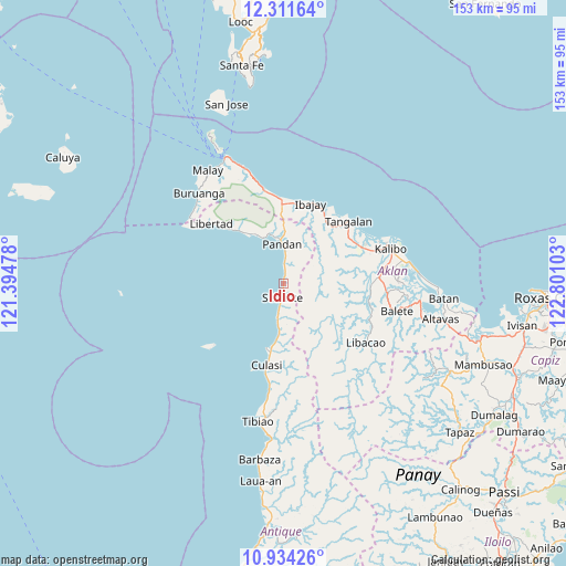
Idio GPS coordinates[2]
11° 37' 25.68" North, 122° 5' 52.44" East
| Map corner | latitude | longitude |
|---|---|---|
| Upper-left | 12.31164°, | 121.39478° |
| Center: | 11.6238°, | 122.0979° |
| Lower-right: | 10.93426°, | 122.80103° |
| Map W x H: | 153.2×153.2 km | = 95.2×95.2mi |
| max Lat: | 20.78733° ⇑50.1% North |
| Idio: | 11.6238° |
| min Lat: | ⇓49.9% South 4.65442° |
| min Long | Idio | max Long |
| 117.04868° | 122.0979° | 126.58417° |
| W 41.1%⇐ | ⇒58.9% E |
Elevation
Elevation of Idio is 8 m = 26 ft, and this is 79.9 m = 262 ft below average elevation for this country.
| Max E: |
2262 m = 7421 ft | 85.4% |
| Avg. | 87.9 m = 288 ft | |
| Idio | 8 m = 26 ft | |
Min E: |
-2 m = -7 ft | 14.6% |
See also: Philippines elevation on elevation.city.
Geographical zone
Idio is located in North Torrid zone (between Equator and Tropic of Cancer). Distance of Equator is 1292.4 km =803.1 mi to South.| Distance of | km | miles | from Idio |
|---|---|---|---|
| North Pole | 8714.6 | 5415 | to North |
| Arctic Circle | 6108.7 | 3795.8 | to North |
| Tropic Cancer | 1313.5 | 816.2 | to North |
| Equator | 1292.4 | 803.1 | to South |


Nearby cities:
15 places around Idio: (largest is in red/bold)
• Abiera
5.5 km =3.4 mi,  188°
188°
• Aquino
22.1 km =13.7 mi,  3°
3°
• Bacalan
8.7 km =5.4 mi, 189°
• Bitadtun
14.2 km =8.8 mi, 185°
• Cayanguan
22.2 km =13.8 mi,  70°
70°
• Culasi
22.3 km =13.9 mi, 191°
• Maloco
18.7 km =11.6 mi,  18°
18°
• Naili
18 km =11.2 mi,  28°
28°
• Ondoy
21.9 km =13.6 mi,  8°
8°
• Panayacan
20.4 km =12.7 mi,  42°
42°
• Pandan
10.6 km =6.6 mi,  358°
358°
• Pandan
13.5 km =8.4 mi, 1°
• Patria
15.7 km =9.8 mi,  325°
325°
• Rosario
22.7 km =14.1 mi,  101°
101°
• Sebaste
3.8 km =2.4 mi, 185°
Sources, notices
• [Note1] Compared only with cities in Philippines existing in our database
• [Src1] Map data: © OpenStreetMap contributors (CC-BY-SA)
• [Src2] Other city data from geonames.org with taken over terms of usage.
• [Src3] Geographical zone / Annual Mean Temperature by Robert A. Rohde @ Wikipedia
