Bayt Līd geodata
Bayt Līd (West Bank) is a populated place; located in Palestinian Territory in Asia/Hebron (GMT+3) time zone. With population of 5,740 people, there are 99 cities with bigger population in this country. Compared to other cities in Palestinian Territory, 77.4% of cities are located further ↓South; 60.1% of cities are located further →East and 57.8% of cities have higher elevation than Bayt Līd. Note1


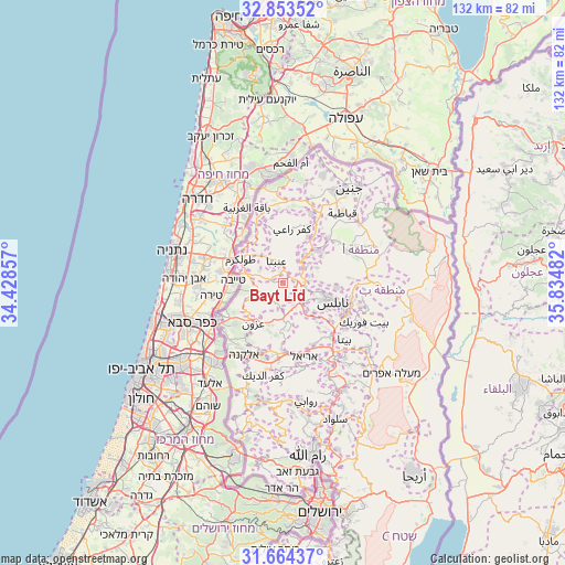
Bayt Līd GPS coordinates[2]
32° 15' 39.204" North, 35° 7' 54.084" East
| Map corner | latitude | longitude |
|---|---|---|
| Upper-left | 32.85352°, | 34.42857° |
| Center: | 32.26089°, | 35.13169° |
| Lower-right: | 31.66437°, | 35.83482° |
| Map W x H: | 132.2×132.2 km | = 82.1×82.1mi |
| max Lat: | 32.54346° ⇑22.6% North |
| Bayt Līd: | 32.26089° |
| min Lat: | ⇓77.4% South 31.25997° |
| min Long | Bayt Līd | max Long |
| 34.24357° | 35.13169° | 35.53898° |
| W 39.9%⇐ | ⇒60.1% E |
Elevation
Elevation of Bayt Līd is 426 m = 1398 ft, and this is 47.3 m = 155 ft below average elevation for this country.
| Max E: |
999 m = 3278 ft | 57.8% |
| Avg. | 473.3 m = 1553 ft | |
| Bayt Līd | 426 m = 1398 ft | |
Min E: |
-269 m = -883 ft | 42.2% |
See also: Palestinian Territory elevation on elevation.city.
Geographical zone
Bayt Līd is located in North temperate zone (between Tropic of Cancer and the Arctic Circle). Distance of this Northern Tropic circle is 981.2 km =609.7 mi to South.| Distance of | km | miles | from Bayt Līd |
|---|---|---|---|
| North Pole | 6420 | 3989.2 | to North |
| Arctic Circle | 3814.1 | 2370 | to North |
| Tropic Cancer | 981.2 | 609.7 | to South |
| Equator | 3587.1 | 2228.9 | to South |


Nearby cities:
15 places around Bayt Līd: (largest is in red/bold)
• An Nāqūrah
6.6 km =4.1 mi,  85°
85°
• Bazzāryah
6.1 km =3.8 mi,  31°
31°
• Bāqat al Ḩaţab
6.5 km =4 mi,  194°
194°
• Dayr Sharaf
5.4 km =3.4 mi,  98°
98°
• Jīt
6.4 km =4 mi,  144°
144°
• Kafr Qaddūm
4.5 km =2.8 mi,  164°
164°
• Kafr al Labad
4.8 km =3 mi,  334°
334°
• Kafr ‘Abbūsh
6 km =3.7 mi,  226°
226°
• Qūşīn
5.4 km =3.4 mi,  117°
117°
• Rāmīn
3.2 km =2 mi, 31°
• Sabasţīyah
6.5 km =4 mi,  75°
75°
• Saffārīn
2 km =1.2 mi,  274°
274°
• Shūfah
5 km =3.1 mi,  288°
288°
• Ḩajjah
6.3 km =3.9 mi,  180°
180°
• ‘Anabtā
5.4 km =3.4 mi,  345°
345°
Sources, notices
• [Note1] Compared only with cities in Palestinian Territory existing in our database
• [Src1] Map data: © OpenStreetMap contributors (CC-BY-SA)
• [Src2] Other city data from geonames.org with taken over terms of usage.
• [Src3] Geographical zone / Annual Mean Temperature by Robert A. Rohde @ Wikipedia
