Tobi Village geodata
Tobi Village (Hatohobei) is a seat of a first-order administrative division; located in Palau in Pacific/Palau (GMT+9) time zone. With population of 44 people, there are 14 cities with bigger population in this country. Compared to other cities in Palau, 100% of cities are located further ↑North; 100% of cities are located further →East and 52.9% of cities have lower elevation than Tobi Village. Note1


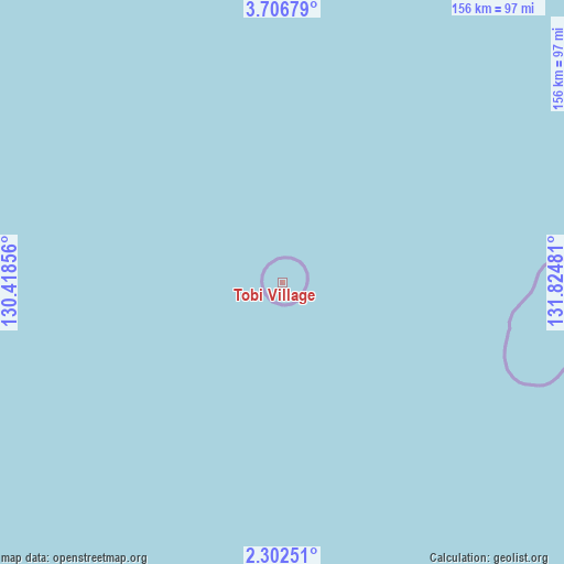
Tobi Village GPS coordinates[2]
3° 0' 17.568" North, 131° 7' 18.048" East
| Map corner | latitude | longitude |
|---|---|---|
| Upper-left | 3.70679°, | 130.41856° |
| Center: | 3.00488°, | 131.12168° |
| Lower-right: | 2.30251°, | 131.82481° |
| Map W x H: | 156.1×156.1 km | = 97×97mi |
| max Lat: | 8.08228° ⇑100% North |
| Tobi Village: | 3.00488° |
| min Lat: | ⇓0% South 3.00488° |
| min Long | Tobi Village | max Long |
| 131.12168° | 131.12168° | 134.71725° |
| W 0%⇐ | ⇒100% E |
Elevation
Elevation of Tobi Village is 21 m = 69 ft, and this is 3.7 m = 12 ft below average elevation for this country.
| Max E: |
72 m = 236 ft | 47.1% |
| Avg. | 24.7 m = 81 ft | |
| Tobi Village | 21 m = 69 ft | |
Min E: |
7 m = 23 ft | 52.9% |
See also: Palau elevation on elevation.city.
Geographical zone
Tobi Village is located in North Torrid zone (between Equator and Tropic of Cancer). Distance of Equator is 334.1 km =207.6 mi to South.| Distance of | km | miles | from Tobi Village |
|---|---|---|---|
| North Pole | 9673 | 6010.5 | to North |
| Arctic Circle | 7067.1 | 4391.3 | to North |
| Tropic Cancer | 2271.8 | 1411.6 | to North |
| Equator | 334.1 | 207.6 | to South |


Nearby cities:
1 places around Tobi Village: (largest is in red/bold)
• Sonsorol Village
285.4 km =177.3 mi,  25°
25°
Sources, notices
• [Note1] Compared only with cities in Palau existing in our database
• [Src1] Map data: © OpenStreetMap contributors (CC-BY-SA)
• [Src2] Other city data from geonames.org with taken over terms of usage.
• [Src3] Geographical zone / Annual Mean Temperature by Robert A. Rohde @ Wikipedia
