Vultureni geodata
Vultureni (Bacău) is a seat of a second-order administrative division; located in Romania in Europe/Bucharest (GMT+3) time zone. With population of 2,171 people, there are 2450 cities with bigger population in this country. Compared to other cities in Romania, 63.7% of cities are located further ↓South; 88% of cities are located further ←West and 66.3% of cities have higher elevation than Vultureni. Note1


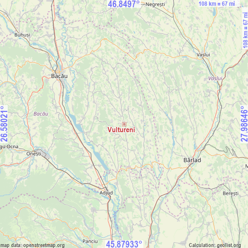
Vultureni GPS coordinates[2]
46° 22' 0.012" North, 27° 16' 59.988" East
| Map corner | latitude | longitude |
|---|---|---|
| Upper-left | 46.8497°, | 26.58021° |
| Center: | 46.36667°, | 27.28333° |
| Lower-right: | 45.87933°, | 27.98646° |
| Map W x H: | 107.9×107.9 km | = 67×67mi |
| max Lat: | 48.23793° ⇑36.3% North |
| Vultureni: | 46.36667° |
| min Lat: | ⇓63.7% South 43.65638° |
| min Long | Vultureni | max Long |
| 20.31667° | 27.28333° | 29.65403° |
| W 88%⇐ | ⇒12% E |
Elevation
Elevation of Vultureni is 142 m = 466 ft, and this is 112.9 m = 370 ft below average elevation for this country.
| Max E: |
1278 m = 4193 ft | 66.3% |
| Avg. | 254.9 m = 836 ft | |
| Vultureni | 142 m = 466 ft | |
Min E: |
-2 m = -7 ft | 33.7% |
See also: Romania elevation on elevation.city.
Geographical zone
Vultureni is located in North temperate zone (between Tropic of Cancer and the Arctic Circle). Distance of this North polar circle is 2245.7 km =1395.4 mi to North.| Distance of | km | miles | from Vultureni |
|---|---|---|---|
| North Pole | 4851.6 | 3014.6 | to North |
| Arctic Circle | 2245.7 | 1395.4 | to North |
| Tropic Cancer | 2549.6 | 1584.2 | to South |
| Equator | 5155.5 | 3203.5 | to South |


Nearby cities:
15 places around Vultureni: (largest is in red/bold)
• Arini
7.9 km =4.9 mi,  256°
256°
• Băcioiu
11.3 km =7 mi,  238°
238°
• Crăiești
4.9 km =3 mi,  62°
62°
• Căuia
9.4 km =5.8 mi,  180°
180°
• Dealu Morii
6.8 km =4.2 mi,  214°
214°
• Dumbrava
7.8 km =4.8 mi,  42°
42°
• Frumușelu
11.2 km =7 mi,  151°
151°
• Fundoaia
8.8 km =5.5 mi,  224°
224°
• Găiceana
6.3 km =3.9 mi,  234°
234°
• Huruiești
11.4 km =7.1 mi,  192°
192°
• Motoşeni
8.5 km =5.3 mi,  115°
115°
• Onceşti
11.4 km =7.1 mi,  347°
347°
• Răchitoasa
9.8 km =6.1 mi, 40°
• Stănişeşti
7.5 km =4.7 mi,  9°
9°
• Țepoaia
8.6 km =5.3 mi,  134°
134°
Sources, notices
• [Note1] Compared only with cities in Romania existing in our database
• [Src1] Map data: © OpenStreetMap contributors (CC-BY-SA)
• [Src2] Other city data from geonames.org with taken over terms of usage.
• [Src3] Geographical zone / Annual Mean Temperature by Robert A. Rohde @ Wikipedia
