Târgu Cărbuneşti geodata
Târgu Cărbuneşti (Gorj) is a seat of a second-order administrative division; located in Romania in Europe/Bucharest (GMT+3) time zone. With population of 8,646 people, there are 269 cities with bigger population in this country. Compared to other cities in Romania, 71.7% of cities are located further ↑North; 76.8% of cities are located further →East and 53.3% of cities have higher elevation than Târgu Cărbuneşti. Note1


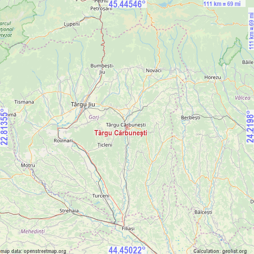
Târgu Cărbuneşti GPS coordinates[2]
44° 57' 0" North, 23° 31' 0.012" East
| Map corner | latitude | longitude |
|---|---|---|
| Upper-left | 45.44546°, | 22.81355° |
| Center: | 44.95°, | 23.51667° |
| Lower-right: | 44.45022°, | 24.2198° |
| Map W x H: | 110.7×110.7 km | = 68.8×68.8mi |
| max Lat: | 48.23793° ⇑71.7% North |
| Târgu Cărbuneşti: | 44.95° |
| min Lat: | ⇓28.3% South 43.65638° |
| min Long | Târgu Cărbune | max Long |
| 20.31667° | 23.51667° | 29.65403° |
| W 23.2%⇐ | ⇒76.8% E |
Elevation
Elevation of Târgu Cărbuneşti is 195 m = 640 ft, and this is 59.9 m = 197 ft below average elevation for this country.
| Max E: |
1278 m = 4193 ft | 53.3% |
| Avg. | 254.9 m = 836 ft | |
| Târgu Cărbuneşti | 195 m = 640 ft | |
Min E: |
-2 m = -7 ft | 46.7% |
See also: Romania elevation on elevation.city.
Geographical zone
Târgu Cărbuneşti is located in North temperate zone (between Tropic of Cancer and the Arctic Circle). Distance of this Northern Tropic circle is 2392.1 km =1486.4 mi to South.| Distance of | km | miles | from Târgu Cărbuneşti |
|---|---|---|---|
| North Pole | 5009.1 | 3112.5 | to North |
| Arctic Circle | 2403.2 | 1493.3 | to North |
| Tropic Cancer | 2392.1 | 1486.4 | to South |
| Equator | 4998 | 3105.6 | to South |


Nearby cities:
15 places around Târgu Cărbuneşti: (largest is in red/bold)
• Albeni
11.3 km =7 mi,  35°
35°
• Bobu
9.4 km =5.8 mi,  356°
356°
• Bolbocești
8.8 km =5.5 mi, 44°
• Budieni
11.6 km =7.2 mi,  309°
309°
• Bărbăteşti
9.4 km =5.8 mi,  188°
188°
• Copăcioasa
11.3 km =7 mi,  324°
324°
• Cărbunești-Sat
2.4 km =1.5 mi,  88°
88°
• Jupâneşti
5.7 km =3.5 mi,  166°
166°
• Licurici
8.7 km =5.4 mi,  115°
115°
• Petrești
11.2 km =7 mi,  183°
183°
• Pojogeni
5.2 km =3.2 mi,  330°
330°
• Scoarţa
9.1 km =5.7 mi, 324°
• Valea Deșului
11.3 km =7 mi,  158°
158°
• Vierșani
8 km =5 mi, 171°
• Ștefănești
5.2 km =3.2 mi,  49°
49°
Sources, notices
• [Note1] Compared only with cities in Romania existing in our database
• [Src1] Map data: © OpenStreetMap contributors (CC-BY-SA)
• [Src2] Other city data from geonames.org with taken over terms of usage.
• [Src3] Geographical zone / Annual Mean Temperature by Robert A. Rohde @ Wikipedia
