Tătaru geodata
Tătaru (Brăila) is a populated place; located in Romania in Europe/Bucharest (GMT+3) time zone. With population of 2,178 people, there are 2444 cities with bigger population in this country. Compared to other cities in Romania, 75.1% of cities are located further ↑North; 90% of cities are located further ←West and 93.5% of cities have higher elevation than Tătaru. Note1


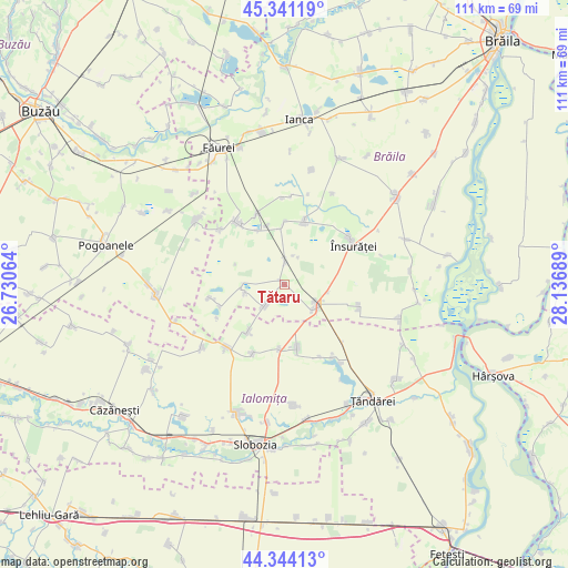
Tătaru GPS coordinates[2]
44° 50' 41.352" North, 27° 26' 1.536" East
| Map corner | latitude | longitude |
|---|---|---|
| Upper-left | 45.34119°, | 26.73064° |
| Center: | 44.84482°, | 27.43376° |
| Lower-right: | 44.34413°, | 28.13689° |
| Map W x H: | 110.9×110.9 km | = 68.9×68.9mi |
| max Lat: | 48.23793° ⇑75.1% North |
| Tătaru: | 44.84482° |
| min Lat: | ⇓24.9% South 43.65638° |
| min Long | Tătaru | max Long |
| 20.31667° | 27.43376° | 29.65403° |
| W 90%⇐ | ⇒10% E |
Elevation
Elevation of Tătaru is 41 m = 135 ft, and this is 213.9 m = 702 ft below average elevation for this country.
| Max E: |
1278 m = 4193 ft | 93.5% |
| Avg. | 254.9 m = 836 ft | |
| Tătaru | 41 m = 135 ft | |
Min E: |
-2 m = -7 ft | 6.5% |
See also: Romania elevation on elevation.city.
Geographical zone
Tătaru is located in North temperate zone (between Tropic of Cancer and the Arctic Circle). Distance of this Northern Tropic circle is 2380.4 km =1479.1 mi to South.| Distance of | km | miles | from Tătaru |
|---|---|---|---|
| North Pole | 5020.8 | 3119.8 | to North |
| Arctic Circle | 2414.9 | 1500.5 | to North |
| Tropic Cancer | 2380.4 | 1479.1 | to South |
| Equator | 4986.3 | 3098.3 | to South |


Nearby cities:
15 places around Tătaru: (largest is in red/bold)
• Bărăganul
8.2 km =5.1 mi,  127°
127°
• Cireşu
13.4 km =8.3 mi,  330°
330°
• Colțea
8 km =5 mi,  270°
270°
• Dudescu
11.8 km =7.3 mi,  359°
359°
• Dudeşti
6.1 km =3.8 mi, 359°
• Iazu
12.7 km =7.9 mi,  184°
184°
• Roşiori
6.4 km =4 mi,  218°
218°
• Scânteia
12.6 km =7.8 mi,  168°
168°
• Scărlătești
11.9 km =7.4 mi,  344°
344°
• Smirna
14.8 km =9.2 mi,  204°
204°
• Traian
11.5 km =7.1 mi, 218°
• Ulmu
14.9 km =9.3 mi,  321°
321°
• Victoria
14.8 km =9.2 mi,  102°
102°
• Vultureni
11.9 km =7.4 mi, 332°
• Zăvoaia
12.3 km =7.6 mi,  18°
18°
Sources, notices
• [Note1] Compared only with cities in Romania existing in our database
• [Src1] Map data: © OpenStreetMap contributors (CC-BY-SA)
• [Src2] Other city data from geonames.org with taken over terms of usage.
• [Src3] Geographical zone / Annual Mean Temperature by Robert A. Rohde @ Wikipedia
