Racşa geodata
Racşa (Satu Mare) is a seat of a second-order administrative division; located in Romania in Europe/Bucharest (GMT+3) time zone. In our database, there are 7076 cities with bigger population. Compared to other cities in Romania, 97% of cities are located further ↓South; 79.5% of cities are located further →East and 55.6% of cities have higher elevation than Racşa. Note1


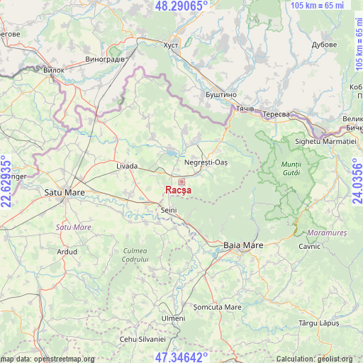
Racşa GPS coordinates[2]
47° 49' 14.448" North, 23° 19' 56.892" East
| Map corner | latitude | longitude |
|---|---|---|
| Upper-left | 48.29065°, | 22.62935° |
| Center: | 47.82068°, | 23.33247° |
| Lower-right: | 47.34642°, | 24.0356° |
| Map W x H: | 105×105 km | = 65.2×65.2mi |
| max Lat: | 48.23793° ⇑3% North |
| Racşa: | 47.82068° |
| min Lat: | ⇓97% South 43.65638° |
| min Long | Racşa | max Long |
| 20.31667° | 23.33247° | 29.65403° |
| W 20.5%⇐ | ⇒79.5% E |
Elevation
Elevation of Racşa is 184 m = 604 ft, and this is 70.9 m = 233 ft below average elevation for this country.
| Max E: |
1278 m = 4193 ft | 55.6% |
| Avg. | 254.9 m = 836 ft | |
| Racşa | 184 m = 604 ft | |
Min E: |
-2 m = -7 ft | 44.4% |
See also: Romania elevation on elevation.city.
Geographical zone
Racşa is located in North temperate zone (between Tropic of Cancer and the Arctic Circle). Distance of this North polar circle is 2084 km =1294.9 mi to North.| Distance of | km | miles | from Racşa |
|---|---|---|---|
| North Pole | 4689.9 | 2914.2 | to North |
| Arctic Circle | 2084 | 1294.9 | to North |
| Tropic Cancer | 2711.2 | 1684.7 | to South |
| Equator | 5317.2 | 3304 | to South |


Nearby cities:
15 places around Racşa: (largest is in red/bold)
• Apa
11.6 km =7.2 mi,  238°
238°
• Boinești
10.7 km =6.6 mi,  7°
7°
• Coca
10.1 km =6.3 mi,  330°
330°
• Călineşti-Oaş
9.1 km =5.7 mi,  344°
344°
• Lechința
11.7 km =7.3 mi,  347°
347°
• Luna
8.5 km =5.3 mi,  67°
67°
• Negreşti-Oaş
9.1 km =5.7 mi,  55°
55°
• Oraşu Nou
3.9 km =2.4 mi,  290°
290°
• Prilog
3.5 km =2.2 mi, 343°
• Remetea Oașului
6.2 km =3.9 mi, 349°
• Seini
8.7 km =5.4 mi,  205°
205°
• Săbișa
10.1 km =6.3 mi,  181°
181°
• Tur
8.1 km =5 mi,  32°
32°
• Vama
5.2 km =3.2 mi, 74°
• Viile Apei
5.4 km =3.4 mi,  215°
215°
Sources, notices
• [Note1] Compared only with cities in Romania existing in our database
• [Src1] Map data: © OpenStreetMap contributors (CC-BY-SA)
• [Src2] Other city data from geonames.org with taken over terms of usage.
• [Src3] Geographical zone / Annual Mean Temperature by Robert A. Rohde @ Wikipedia
