Pietroşani geodata
Pietroşani (Teleorman) is a seat of a second-order administrative division; located in Romania in Europe/Bucharest (GMT+3) time zone. With population of 3,351 people, there are 1523 cities with bigger population in this country. Compared to other cities in Romania, 100% of cities are located further ↑North; 56.7% of cities are located further ←West and 97.3% of cities have higher elevation than Pietroşani. Note1


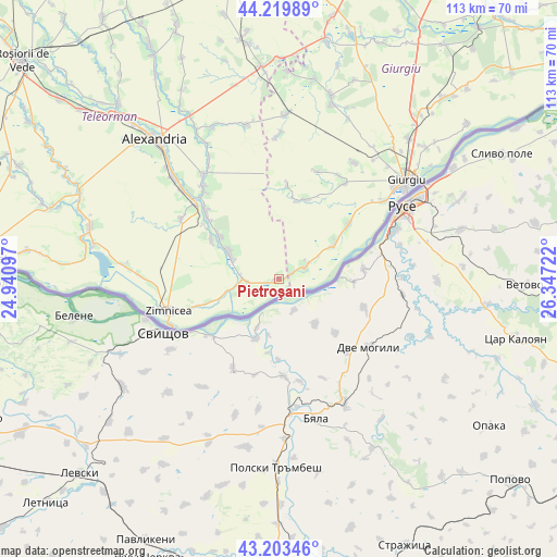
Pietroşani GPS coordinates[2]
43° 42' 49.788" North, 25° 38' 38.724" East
| Map corner | latitude | longitude |
|---|---|---|
| Upper-left | 44.21989°, | 24.94097° |
| Center: | 43.71383°, | 25.64409° |
| Lower-right: | 43.20346°, | 26.34722° |
| Map W x H: | 113×113 km | = 70.2×70.2mi |
| max Lat: | 48.23793° ⇑100% North |
| Pietroşani: | 43.71383° |
| min Lat: | ⇓0% South 43.65638° |
| min Long | Pietroşani | max Long |
| 20.31667° | 25.64409° | 29.65403° |
| W 56.7%⇐ | ⇒43.3% E |
Elevation
Elevation of Pietroşani is 21 m = 69 ft, and this is 233.9 m = 767 ft below average elevation for this country.
| Max E: |
1278 m = 4193 ft | 97.3% |
| Avg. | 254.9 m = 836 ft | |
| Pietroşani | 21 m = 69 ft | |
Min E: |
-2 m = -7 ft | 2.7% |
See also: Romania elevation on elevation.city.
Geographical zone
Pietroşani is located in North temperate zone (between Tropic of Cancer and the Arctic Circle). Distance of this Northern Tropic circle is 2254.6 km =1400.9 mi to South.| Distance of | km | miles | from Pietroşani |
|---|---|---|---|
| North Pole | 5146.5 | 3197.9 | to North |
| Arctic Circle | 2540.7 | 1578.7 | to North |
| Tropic Cancer | 2254.6 | 1400.9 | to South |
| Equator | 4860.5 | 3020.2 | to South |


Nearby cities:
15 places around Pietroşani: (largest is in red/bold)
• Bragadiru
11.8 km =7.3 mi,  299°
299°
• Bujoru
6.2 km =3.9 mi,  272°
272°
• Cervenia
19.5 km =12.1 mi,  313°
313°
• Conţeşti
16.1 km =10 mi, 306°
• Frumoasa
17.2 km =10.7 mi, 303°
• Gogoşari
17.6 km =10.9 mi,  14°
14°
• Găujani
5 km =3.1 mi,  64°
64°
• Izvoru
19.1 km =11.9 mi,  4°
4°
• Malu
18 km =11.2 mi,  51°
51°
• Năsturelu
15.2 km =9.4 mi,  249°
249°
• Pietrișu
2.8 km =1.7 mi, 63°
• Păuleasca
18.6 km =11.6 mi, 306°
• Vedea
13.6 km =8.5 mi, 55°
• Zimnicele
19.5 km =12.1 mi, 252°
• Șoimu
20.8 km =12.9 mi, 309°
Sources, notices
• [Note1] Compared only with cities in Romania existing in our database
• [Src1] Map data: © OpenStreetMap contributors (CC-BY-SA)
• [Src2] Other city data from geonames.org with taken over terms of usage.
• [Src3] Geographical zone / Annual Mean Temperature by Robert A. Rohde @ Wikipedia
