Herla geodata
Herla (Suceava) is a populated place; located in Romania in Europe/Bucharest (GMT+3) time zone. With population of 1,318 people, there are 3485 cities with bigger population in this country. Compared to other cities in Romania, 89.7% of cities are located further ↓South; 63.1% of cities are located further ←West and 87.5% of cities have lower elevation than Herla. Note1


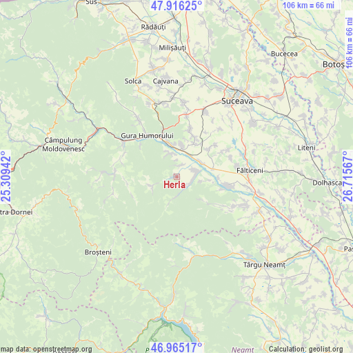
Herla GPS coordinates[2]
47° 26' 34.296" North, 26° 0' 45.144" East
| Map corner | latitude | longitude |
|---|---|---|
| Upper-left | 47.91625°, | 25.30942° |
| Center: | 47.44286°, | 26.01254° |
| Lower-right: | 46.96517°, | 26.71567° |
| Map W x H: | 105.8×105.7 km | = 65.7×65.7mi |
| max Lat: | 48.23793° ⇑10.3% North |
| Herla: | 47.44286° |
| min Lat: | ⇓89.7% South 43.65638° |
| min Long | Herla | max Long |
| 20.31667° | 26.01254° | 29.65403° |
| W 63.1%⇐ | ⇒36.9% E |
Elevation
Elevation of Herla is 476 m = 1562 ft, and this is 221.1 m = 725 ft above average elevation for this country.
| Max E: |
1278 m = 4193 ft | 12.5% |
| Herla | 476 m 1562 ft | |
| Avg. | 254.9 m = 836 ft | |
Min E: |
-2 m = -7 ft | 87.5% |
See also: Romania elevation on elevation.city.
Geographical zone
Herla is located in North temperate zone (between Tropic of Cancer and the Arctic Circle). Distance of this North polar circle is 2126 km =1321 mi to North.| Distance of | km | miles | from Herla |
|---|---|---|---|
| North Pole | 4731.9 | 2940.3 | to North |
| Arctic Circle | 2126 | 1321 | to North |
| Tropic Cancer | 2669.2 | 1658.6 | to South |
| Equator | 5275.2 | 3277.9 | to South |


Nearby cities:
15 places around Herla: (largest is in red/bold)
• Berchișești
9 km =5.6 mi,  9°
9°
• Brăiești
7.5 km =4.7 mi,  36°
36°
• Băișești
8.5 km =5.3 mi,  60°
60°
• Capu Codrului
10 km =6.2 mi,  349°
349°
• Capu Câmpului
7.7 km =4.8 mi,  341°
341°
• Găinești
7.6 km =4.7 mi,  250°
250°
• Mironu
5 km =3.1 mi,  357°
357°
• Mălini
5.9 km =3.7 mi, 63°
• Poiana Mărului
4 km =2.5 mi,  148°
148°
• Pâraie
4.6 km =2.9 mi, 60°
• Păiseni
7.5 km =4.7 mi,  101°
101°
• Sasca Mare
9.8 km =6.1 mi, 96°
• Slatina
0.9 km =0.6 mi,  21°
21°
• Slătioara
10.6 km =6.6 mi,  131°
131°
• Valea Moldovei
3.1 km =1.9 mi,  30°
30°
Sources, notices
• [Note1] Compared only with cities in Romania existing in our database
• [Src1] Map data: © OpenStreetMap contributors (CC-BY-SA)
• [Src2] Other city data from geonames.org with taken over terms of usage.
• [Src3] Geographical zone / Annual Mean Temperature by Robert A. Rohde @ Wikipedia
