Deja geodata
Deja (Sălaj) is a populated place; located in Romania in Europe/Bucharest (GMT+3) time zone. With population of 1,252 people, there are 3634 cities with bigger population in this country. Compared to other cities in Romania, 87.9% of cities are located further ↓South; 81.8% of cities are located further →East and 54% of cities have lower elevation than Deja. Note1


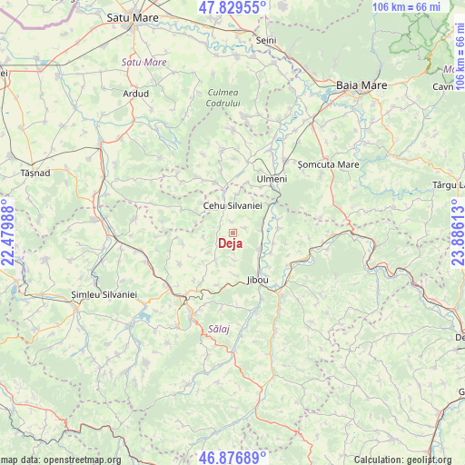
Deja GPS coordinates[2]
47° 21' 19.332" North, 23° 10' 58.8" East
| Map corner | latitude | longitude |
|---|---|---|
| Upper-left | 47.82955°, | 22.47988° |
| Center: | 47.35537°, | 23.183° |
| Lower-right: | 46.87689°, | 23.88613° |
| Map W x H: | 105.9×105.9 km | = 65.8×65.8mi |
| max Lat: | 48.23793° ⇑12.1% North |
| Deja: | 47.35537° |
| min Lat: | ⇓87.9% South 43.65638° |
| min Long | Deja | max Long |
| 20.31667° | 23.183° | 29.65403° |
| W 18.2%⇐ | ⇒81.8% E |
Elevation
Elevation of Deja is 233 m = 764 ft, and this is 21.9 m = 72 ft below average elevation for this country.
| Max E: |
1278 m = 4193 ft | 46% |
| Avg. | 254.9 m = 836 ft | |
| Deja | 233 m = 764 ft | |
Min E: |
-2 m = -7 ft | 54% |
See also: Romania elevation on elevation.city.
Geographical zone
Deja is located in North temperate zone (between Tropic of Cancer and the Arctic Circle). Distance of this North polar circle is 2135.8 km =1327.1 mi to North.| Distance of | km | miles | from Deja |
|---|---|---|---|
| North Pole | 4741.6 | 2946.3 | to North |
| Arctic Circle | 2135.8 | 1327.1 | to North |
| Tropic Cancer | 2659.5 | 1652.5 | to South |
| Equator | 5265.4 | 3271.8 | to South |


Nearby cities:
15 places around Deja: (largest is in red/bold)
• Aluniș
7.8 km =4.8 mi,  64°
64°
• Benesat
10.1 km =6.3 mi,  52°
52°
• Biușa
8.9 km =5.5 mi,  31°
31°
• Cehu Silvaniei
6.3 km =3.9 mi,  354°
354°
• Cuceu
10 km =6.2 mi,  173°
173°
• Doba
9.7 km =6 mi,  222°
222°
• Dobrin
8.8 km =5.5 mi,  205°
205°
• Giurtelecu Hododului
9.6 km =6 mi,  315°
315°
• Inău
5.9 km =3.7 mi,  84°
84°
• Lelei
8.9 km =5.5 mi,  284°
284°
• Noțig
2.8 km =1.7 mi,  66°
66°
• Năpradea
10.1 km =6.3 mi, 82°
• Someş-Odorhei
7.6 km =4.7 mi,  124°
124°
• Someș Guruslău
9.9 km =6.2 mi, 119°
• Sălăţig
3.9 km =2.4 mi,  288°
288°
Sources, notices
• [Note1] Compared only with cities in Romania existing in our database
• [Src1] Map data: © OpenStreetMap contributors (CC-BY-SA)
• [Src2] Other city data from geonames.org with taken over terms of usage.
• [Src3] Geographical zone / Annual Mean Temperature by Robert A. Rohde @ Wikipedia
