Cornetu geodata
Cornetu (Dolj) is a populated place; located in Romania in Europe/Bucharest (GMT+3) time zone. With population of 581 people, there are 6349 cities with bigger population in this country. Compared to other cities in Romania, 87.1% of cities are located further ↑North; 72.6% of cities are located further →East and 66.8% of cities have higher elevation than Cornetu. Note1


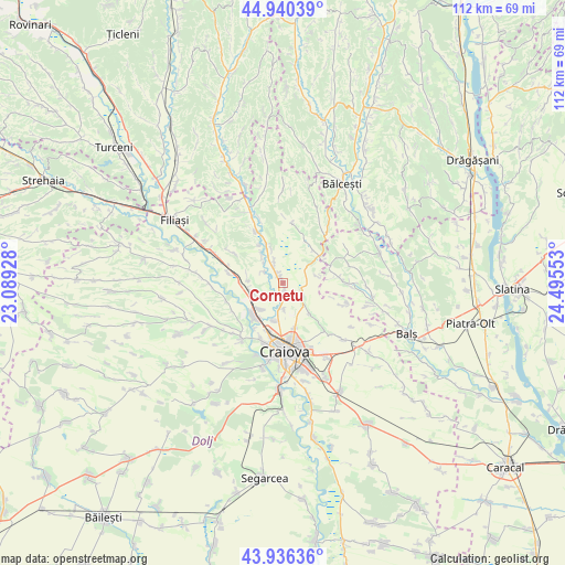
Cornetu GPS coordinates[2]
44° 26' 25.908" North, 23° 47' 32.64" East
| Map corner | latitude | longitude |
|---|---|---|
| Upper-left | 44.94039°, | 23.08928° |
| Center: | 44.44053°, | 23.7924° |
| Lower-right: | 43.93636°, | 24.49553° |
| Map W x H: | 111.6×111.6 km | = 69.3×69.3mi |
| max Lat: | 48.23793° ⇑87.1% North |
| Cornetu: | 44.44053° |
| min Lat: | ⇓12.9% South 43.65638° |
| min Long | Cornetu | max Long |
| 20.31667° | 23.7924° | 29.65403° |
| W 27.4%⇐ | ⇒72.6% E |
Elevation
Elevation of Cornetu is 140 m = 459 ft, and this is 114.9 m = 377 ft below average elevation for this country.
| Max E: |
1278 m = 4193 ft | 66.8% |
| Avg. | 254.9 m = 836 ft | |
| Cornetu | 140 m = 459 ft | |
Min E: |
-2 m = -7 ft | 33.2% |
See also: Romania elevation on elevation.city.
Geographical zone
Cornetu is located in North temperate zone (between Tropic of Cancer and the Arctic Circle). Distance of this Northern Tropic circle is 2335.4 km =1451.1 mi to South.| Distance of | km | miles | from Cornetu |
|---|---|---|---|
| North Pole | 5065.7 | 3147.7 | to North |
| Arctic Circle | 2459.9 | 1528.5 | to North |
| Tropic Cancer | 2335.4 | 1451.1 | to South |
| Equator | 4941.3 | 3070.4 | to South |


Nearby cities:
15 places around Cornetu: (largest is in red/bold)
• Albești
7.6 km =4.7 mi,  195°
195°
• Almăj
6.1 km =3.8 mi,  279°
279°
• Bogea
6.9 km =4.3 mi,  264°
264°
• Goiești
5.2 km =3.2 mi,  336°
336°
• Izvorul Rece
9.9 km =6.2 mi, 198°
• Işalniţa
6.5 km =4 mi,  226°
226°
• Milești
1.2 km =0.7 mi, 335°
• Mischii
7.8 km =4.8 mi,  144°
144°
• Mlecănești
9.5 km =5.9 mi, 137°
• Murgași
8.8 km =5.5 mi,  41°
41°
• Mălăești
4.7 km =2.9 mi,  301°
301°
• Vulpeni
10.3 km =6.4 mi,  73°
73°
• Şimnicu de Sus
6.4 km =4 mi,  174°
174°
• Șimnicu de Jos
9.3 km =5.8 mi, 165°
• Șitoaia
5.9 km =3.7 mi,  249°
249°
Sources, notices
• [Note1] Compared only with cities in Romania existing in our database
• [Src1] Map data: © OpenStreetMap contributors (CC-BY-SA)
• [Src2] Other city data from geonames.org with taken over terms of usage.
• [Src3] Geographical zone / Annual Mean Temperature by Robert A. Rohde @ Wikipedia
