Bonțești geodata
Bonțești (Arad) is a populated place; located in Romania in Europe/Bucharest (GMT+3) time zone. With population of 703 people, there are 5550 cities with bigger population in this country. Compared to other cities in Romania, 61.5% of cities are located further ↓South; 91.6% of cities are located further →East and 59.2% of cities have higher elevation than Bonțești. Note1


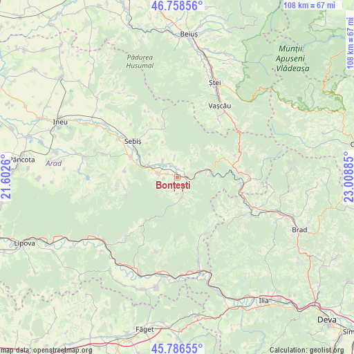
Bonțești GPS coordinates[2]
46° 16' 28.956" North, 22° 18' 20.592" East
| Map corner | latitude | longitude |
|---|---|---|
| Upper-left | 46.75856°, | 21.6026° |
| Center: | 46.27471°, | 22.30572° |
| Lower-right: | 45.78655°, | 23.00885° |
| Map W x H: | 108.1×108.1 km | = 67.2×67.2mi |
| max Lat: | 48.23793° ⇑38.5% North |
| Bonțești: | 46.27471° |
| min Lat: | ⇓61.5% South 43.65638° |
| min Long | Bonțești | max Long |
| 20.31667° | 22.30572° | 29.65403° |
| W 8.4%⇐ | ⇒91.6% E |
Elevation
Elevation of Bonțești is 169 m = 554 ft, and this is 85.9 m = 282 ft below average elevation for this country.
| Max E: |
1278 m = 4193 ft | 59.2% |
| Avg. | 254.9 m = 836 ft | |
| Bonțești | 169 m = 554 ft | |
Min E: |
-2 m = -7 ft | 40.8% |
See also: Romania elevation on elevation.city.
Geographical zone
Bonțești is located in North temperate zone (between Tropic of Cancer and the Arctic Circle). Distance of this North polar circle is 2255.9 km =1401.8 mi to North.| Distance of | km | miles | from Bonțești |
|---|---|---|---|
| North Pole | 4861.8 | 3021 | to North |
| Arctic Circle | 2255.9 | 1401.8 | to North |
| Tropic Cancer | 2539.3 | 1577.8 | to South |
| Equator | 5145.3 | 3197.1 | to South |


Nearby cities:
15 places around Bonțești: (largest is in red/bold)
• Almaş
5.6 km =3.5 mi,  279°
279°
• Avram Iancu
14.3 km =8.9 mi,  52°
52°
• Brazii
5.1 km =3.2 mi,  155°
155°
• Buteni
15.3 km =9.5 mi,  287°
287°
• Chisindia
15.8 km =9.8 mi,  273°
273°
• Cil
3.4 km =2.1 mi, 287°
• Crocna
5.9 km =3.7 mi,  352°
352°
• Dezna
14.6 km =9.1 mi,  342°
342°
• Dieci
6.3 km =3.9 mi,  317°
317°
• Gurahonţ
3.5 km =2.2 mi,  104°
104°
• Pleşcuţa
10.2 km =6.3 mi,  73°
73°
• Păiușeni
16.5 km =10.3 mi,  260°
260°
• Rădești
4.2 km =2.6 mi, 263°
• Secaș
5.1 km =3.2 mi,  180°
180°
• Tălagiu
12.9 km =8 mi,  88°
88°
Sources, notices
• [Note1] Compared only with cities in Romania existing in our database
• [Src1] Map data: © OpenStreetMap contributors (CC-BY-SA)
• [Src2] Other city data from geonames.org with taken over terms of usage.
• [Src3] Geographical zone / Annual Mean Temperature by Robert A. Rohde @ Wikipedia
