Tălagiu geodata
Tălagiu (Arad) is a populated place; located in Romania in Europe/Bucharest (GMT+3) time zone. With population of 565 people, there are 6466 cities with bigger population in this country. Compared to other cities in Romania, 61.5% of cities are located further ↓South; 90% of cities are located further →East and 53.3% of cities have higher elevation than Tălagiu. Note1


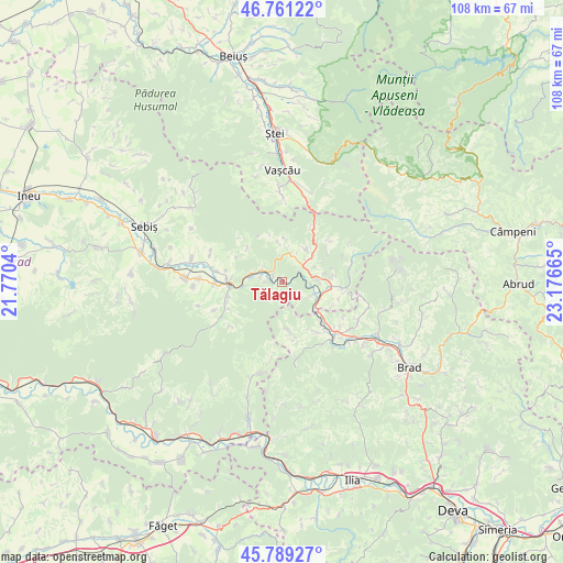
Tălagiu GPS coordinates[2]
46° 16' 38.64" North, 22° 28' 24.672" East
| Map corner | latitude | longitude |
|---|---|---|
| Upper-left | 46.76122°, | 21.7704° |
| Center: | 46.2774°, | 22.47352° |
| Lower-right: | 45.78927°, | 23.17665° |
| Map W x H: | 108.1×108.1 km | = 67.2×67.2mi |
| max Lat: | 48.23793° ⇑38.5% North |
| Tălagiu: | 46.2774° |
| min Lat: | ⇓61.5% South 43.65638° |
| min Long | Tălagiu | max Long |
| 20.31667° | 22.47352° | 29.65403° |
| W 10%⇐ | ⇒90% E |
Elevation
Elevation of Tălagiu is 195 m = 640 ft, and this is 59.9 m = 197 ft below average elevation for this country.
| Max E: |
1278 m = 4193 ft | 53.3% |
| Avg. | 254.9 m = 836 ft | |
| Tălagiu | 195 m = 640 ft | |
Min E: |
-2 m = -7 ft | 46.7% |
See also: Romania elevation on elevation.city.
Geographical zone
Tălagiu is located in North temperate zone (between Tropic of Cancer and the Arctic Circle). Distance of this North polar circle is 2255.6 km =1401.6 mi to North.| Distance of | km | miles | from Tălagiu |
|---|---|---|---|
| North Pole | 4861.5 | 3020.8 | to North |
| Arctic Circle | 2255.6 | 1401.6 | to North |
| Tropic Cancer | 2539.6 | 1578 | to South |
| Equator | 5145.6 | 3197.3 | to South |


Nearby cities:
15 places around Tălagiu: (largest is in red/bold)
• Avram Iancu
8.4 km =5.2 mi,  349°
349°
• Bonțești
12.9 km =8 mi,  268°
268°
• Brazii
11.8 km =7.3 mi,  245°
245°
• Cil
16.1 km =10 mi, 272°
• Crocna
14.8 km =9.2 mi,  291°
291°
• Gurahonţ
9.6 km =6 mi,  262°
262°
• Hălmagiu
8.5 km =5.3 mi,  98°
98°
• Hălmăgel
11.1 km =6.9 mi, 96°
• Lazuri
9.8 km =6.1 mi,  42°
42°
• Luncșoara
12.8 km =8 mi,  67°
67°
• Pleşcuţa
4 km =2.5 mi,  309°
309°
• Secaș
14.1 km =8.8 mi, 247°
• Tomeşti
15.2 km =9.4 mi,  116°
116°
• Vaţa de Jos
14.3 km =8.9 mi,  137°
137°
• Vârfurile
5.5 km =3.4 mi, 37°
Sources, notices
• [Note1] Compared only with cities in Romania existing in our database
• [Src1] Map data: © OpenStreetMap contributors (CC-BY-SA)
• [Src2] Other city data from geonames.org with taken over terms of usage.
• [Src3] Geographical zone / Annual Mean Temperature by Robert A. Rohde @ Wikipedia
