Beiușele geodata
Beiușele (Bihor) is a populated place; located in Romania in Europe/Bucharest (GMT+3) time zone. With population of 553 people, there are 6562 cities with bigger population in this country. Compared to other cities in Romania, 72.2% of cities are located further ↓South; 90.2% of cities are located further →East and 62.3% of cities have lower elevation than Beiușele. Note1


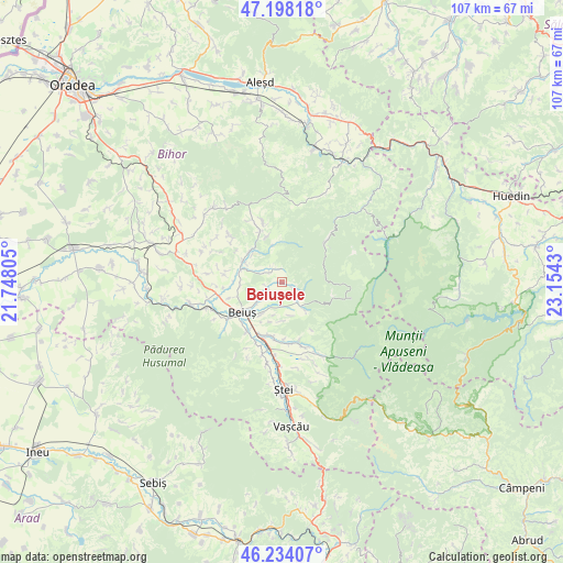
Beiușele GPS coordinates[2]
46° 43' 5.808" North, 22° 27' 4.212" East
| Map corner | latitude | longitude |
|---|---|---|
| Upper-left | 47.19818°, | 21.74805° |
| Center: | 46.71828°, | 22.45117° |
| Lower-right: | 46.23407°, | 23.1543° |
| Map W x H: | 107.2×107.2 km | = 66.6×66.6mi |
| max Lat: | 48.23793° ⇑27.8% North |
| Beiușele: | 46.71828° |
| min Lat: | ⇓72.2% South 43.65638° |
| min Long | Beiușele | max Long |
| 20.31667° | 22.45117° | 29.65403° |
| W 9.8%⇐ | ⇒90.2% E |
Elevation
Elevation of Beiușele is 276 m = 906 ft, and this is 21.1 m = 69 ft above average elevation for this country.
| Max E: |
1278 m = 4193 ft | 37.7% |
| Beiușele | 276 m 906 ft | |
| Avg. | 254.9 m = 836 ft | |
Min E: |
-2 m = -7 ft | 62.3% |
See also: Romania elevation on elevation.city.
Geographical zone
Beiușele is located in North temperate zone (between Tropic of Cancer and the Arctic Circle). Distance of this North polar circle is 2206.6 km =1371.1 mi to North.| Distance of | km | miles | from Beiușele |
|---|---|---|---|
| North Pole | 4812.5 | 2990.3 | to North |
| Arctic Circle | 2206.6 | 1371.1 | to North |
| Tropic Cancer | 2588.7 | 1608.5 | to South |
| Equator | 5194.6 | 3227.8 | to South |


Nearby cities:
15 places around Beiușele: (largest is in red/bold)
• Beiuş
9.6 km =6 mi,  233°
233°
• Budureasa
6.8 km =4.2 mi,  147°
147°
• Bunteşti
11.4 km =7.1 mi,  174°
174°
• Cresuia
2.5 km =1.6 mi,  114°
114°
• Curăţele
3.3 km =2.1 mi, 232°
• Căbeşti
8.4 km =5.2 mi,  309°
309°
• Drăgoteni
11 km =6.8 mi,  278°
278°
• Ferice
10.7 km =6.6 mi, 147°
• Lazuri
9 km =5.6 mi,  341°
341°
• Lelești
10.9 km =6.8 mi,  177°
177°
• Meziad
3.1 km =1.9 mi,  325°
325°
• Nimăiești
6 km =3.7 mi, 229°
• Remetea
7.9 km =4.9 mi, 282°
• Roşia
9.9 km =6.2 mi, 336°
• Tărcaia
11.4 km =7.1 mi,  214°
214°
Sources, notices
• [Note1] Compared only with cities in Romania existing in our database
• [Src1] Map data: © OpenStreetMap contributors (CC-BY-SA)
• [Src2] Other city data from geonames.org with taken over terms of usage.
• [Src3] Geographical zone / Annual Mean Temperature by Robert A. Rohde @ Wikipedia
